What is recorded here
Situated just below the crest of a NW-SE ridge, on the NE side, in undulating reclaimed pasture-land. The site is not depicted on the 1st ed. (1840) or 2nd (1904) ed. OS 6-inch map although the 2nd ed. map depicts an area of outcrop at this location. According to Stout (1984, 21-2) there is a tradition that this possible standing stone is associated with a kerbed mound (23:37) 300m to the SE. The stone is composed of sandstone with quartz inclusions and has a rounded profile and rectangular plan (H 1.1m; dims. 1.85m x 0.4-0.53m). It has inclining sides and is split along its bedding plane giving flat faces on the NE and SW sides. Aligned NW-SE.
The above description is derived from 'The Archaeological Inventory of County Tipperary. Vol. 1 - North Tipperary' compiled by Jean Farrelly and Caimin O'Brien (Dublin: Stationery Office, 2002). In certain instances the entries have been revised and updated in the light of recent research.
Date of upload/revision: 22 September 2008
Likely dating to the Neolithic or Early Bronze Age, the standing stone may have functioned as a territorial marker or ceremonial monument. No specific folklore or detailed local tradition is recorded for this site.
The monument record does not grant public access. Check the route and ask the landowner before entering private land.
- What survives
- Recorded monument
Places near here
 Longford WoodForest · 1.5 mi
 BenduffMountain / peak · 1.6 mi
 Borrisnoe MountainMountain / peak · 1.6 mi
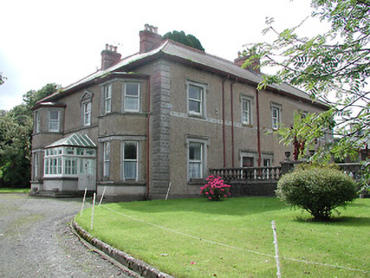 Skehanagh Househouse · 1.6 mi
 St. Jamess WellHoly well · 1.6 mi
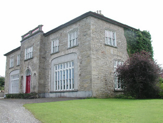 Lisduff Housecountry house · 1.7 mi
 Cliff-edge fort in Summerhill (rathnaveoge Par.)Cliff-edge fort · 1.9 mi
 CastleCastle, ringwork · 1.9 mi
 The MoatCastle, motte · 2.4 mi
 Morris's GroveForest · 5.0 mi
 Thomas MacDonagh Heritage CentreMuseum · 8.7 mi
 MacDonagh HouseMemorial · 8.7 mi