
What is recorded here
A spring in natural rock at the base of a steep slope which continues to fall to the SE. The well has been used by cattle as drinking water. A concrete sill was erected some years ago with 'Saint James' inscribed on the cement. The well consists of a roughly semicircular area (diam. 2m) with a large ash tree growing on the slope immediately to the N. According to Stout (1984, 90) the well 'was known for the cure of disease and toothache, but has not been in use for over fifty years'. The Schools Manuscripts states that the well was moved northward from its original position at the 'Well Tree' in Park townland near the village of Killea (ibid.).
The above description is derived from 'The Archaeological Inventory of County Tipperary. Vol. 1 - North Tipperary' compiled by Jean Farrelly and Caimin O'Brien (Dublin: Stationery Office, 2002). In certain instances the entries have been revised and updated in the light of recent research.
Date of upload/revision: 22 September 2008
St. James Well is associated with St. James the Greater, one of the Twelve Apostles, who is venerated in various parts of Ireland. The well, like many holy wells dedicated to saints, may have been a site of pilgrimage and healing, though specific cures or rituals linked to this well are not widely documented.
The monument record does not grant public access. Check the route and ask the landowner before entering private land.
- What survives
- Recorded monument
Places near here
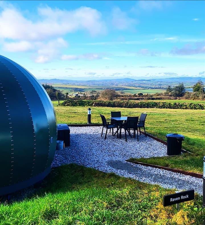 Enclosure in Killea (killea Par.)Enclosure · 1092 yd
 Castle Housefolly · 1181 yd
 Killea Church (in ruins)Church · 1317 yd
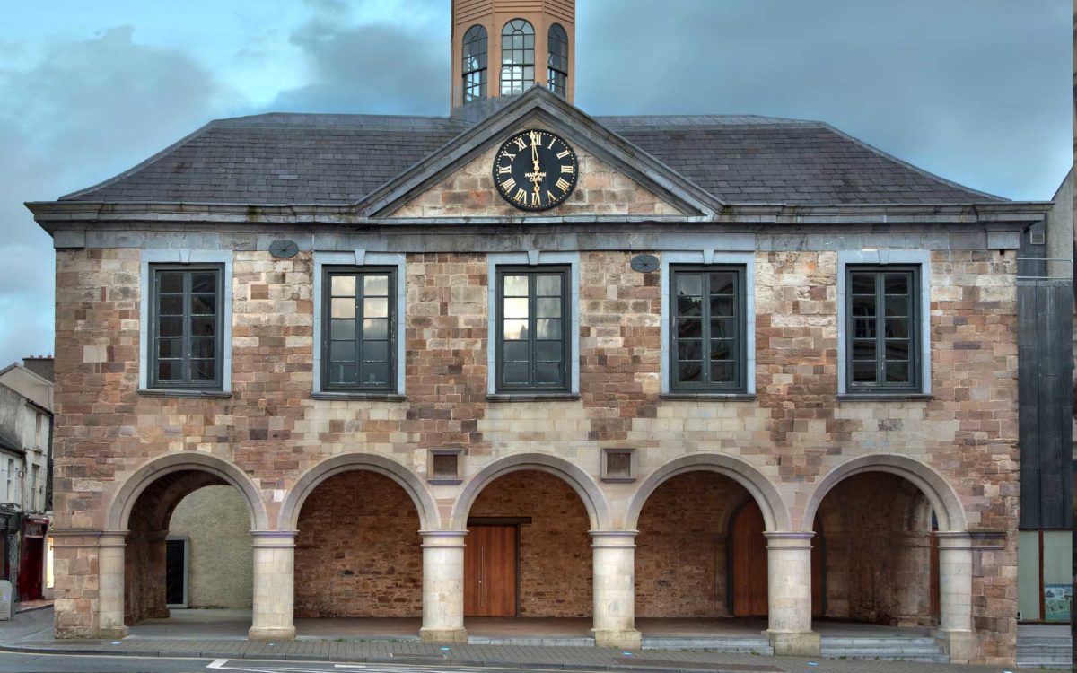 Enclosure in Lloydsborough (killea Par.)Enclosure · 1.3 mi
 CastleCastle, ringwork · 1.4 mi
 Kilduff MountainMountain / peak · 1.4 mi
 College HillMountain / peak · 1.7 mi
 BatteryCastle, ringwork · 2.2 mi
 Longford WoodForest · 2.8 mi
 Morris's GroveForest · 3.3 mi
 Thomas MacDonagh Heritage CentreMuseum · 10 mi
 MacDonagh HouseMemorial · 10 mi
Other information
Photo: Credit not shown in the picture search · Rights wording not checked; contact us if this picture should be removed