What is recorded here
Situated on a SE-facing slope of rising ground in an upland area overlooking a nearby ringfort (TN029-005) to the SE. Not visible at ground level. Vol. 1 - North Tipperary' compiled by Jean Farrelly and Caimin O'Brien (Dublin: Stationery Office, 2002).
From the National Monuments Service (Archaeological Survey of Ireland) record TN029-004
The monument record does not grant public access. Check the route and ask the landowner before entering private land.
- What survives
- Recorded monument
Places near here
 Castle HouseFolly · 580 yd
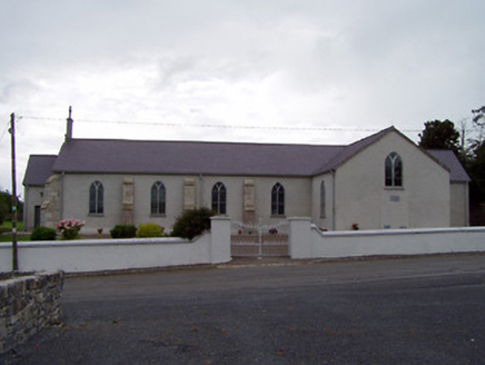 Saint James's Catholic ChurchChurch/chapel · 586 yd
 dam/reservoir/basin736 yd
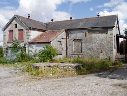 Killea CreameryCreamery · 1.1 mi
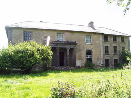 Lloydsborough HouseCountry house · 1.4 miKilduff MountainMountain / peak · 1.4 mi
 Devil's Bit MountainMountain / peak · 1.5 mi
 Barnane HouseFolly · 1.9 mi
 Loughmoe CourtHouse, fortified house · 5.4 mi
 Knockane CastleCastle · 6.8 mi
.jpg/250px-KnockcurraghbolanCommons-TN39-009_(4).jpg "Photo: Wanfried-Dublin, Wikimedia Commons · CC BY-SA 4.0") Wedge tomb in Knockcurraghbola CommonsWedge tomb · 12 mi
Wedge tomb in Knockcurraghbola CommonsWedge tomb · 12 mi BorrisokaneHistoric town · 16 mi
Pictures: National Inventory of Architectural Heritage; Paddy Ryan, Wikimedia Commons · CC BY-SA 4.0; Rigger30, Wikimedia Commons · Public domain; Mike Searle, Wikimedia Commons · CC BY-SA 2.0; Wanfried-Dublin, Wikimedia Commons · CC BY-SA 4.0; Dylan Moore, Geograph · CC BY-SA 2.0
More archaeology and monuments in County Tipperary · All of County Tipperary
What do you know about this place?