
What is recorded here
Situated on a valley floor with a stream flowing roughly N-S to the W of the site, in wet, marshy terrain, in rough pasture. A raised, oval platform (38m N-S; 32.5m E-W) defined by a scarp (H 1.2m) with no visible evidence of an external fosse. A drain runs roughly N-S outside the NE quadrant. Stone protruding from the edge of the scarp in the W sector may be the remains of a destroyed earth and stone bank. This site is not in typical ringfort location. Although not very defensive it is reminiscent in topography and morphology of medieval sites such as Meelick, Co. Galway and Clonard Co. Meath (see introduction to this chapter).
The above description is derived from 'The Archaeological Inventory of County Tipperary. Vol. 1 - North Tipperary' compiled by Jean Farrelly and Caimin O'Brien (Dublin: Stationery Office, 2002). In certain instances the entries have been revised and updated in the light of recent research.
Date of upload/revision: 22 September 2008
The monument record does not grant public access. Check the route and ask the landowner before entering private land.
- What survives
- Recorded monument
Places near here
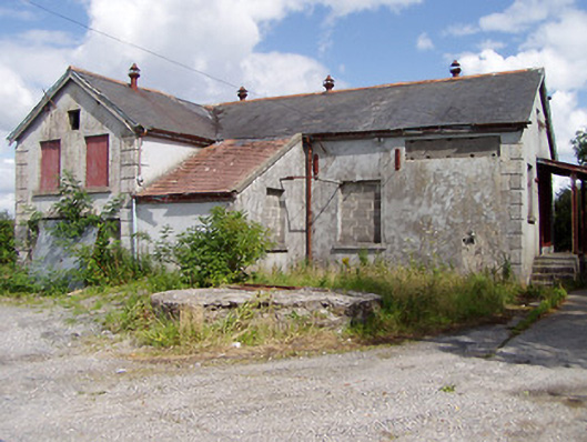 Killea Creamerycreamery · 871 yd
 College HillMountain / peak · 887 yd
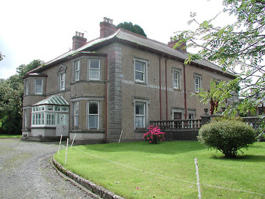 Skehanagh Househouse · 1.1 mi
 Killough Grave Yard (Disused)Ecclesiastical enclosure · 1.3 mi
 St. Jamess WellHoly well · 1.4 mi
 Castle (in ruins)Castle, unclassified · 2.0 mi
 Kilduff MountainMountain / peak · 2.8 mi
 Longford WoodForest · 2.9 mi
 Morris's GroveForest · 3.2 mi
 BatteryCastle, ringwork · 3.6 mi
 Thomas MacDonagh Heritage CentreMuseum · 11 mi
 MacDonagh HouseMemorial · 11 mi
Other information
Photo: Credit not shown in the picture search · Rights wording not checked; contact us if this picture should be removed