
What is recorded here
Knockanroe castle vanished before human memory, erased by time and likely by the plough, leaving only a flat ridge and a concrete shed where a fortress once stood. The 1840 map still claimed ruins, but by 1904 even that certainty had faded to a site. What remains is absence made visible: a place that resisted forgetting long after it stopped resisting the sky.
The precise location of this site was difficult to ascertain as all the nearby field boundaries have been removed. It is likely to have been on the summit at the NE end of a flat-topped ridge which extends NE-SW. Marked as 'Castle (in ruins)' on the 1st ed. (1840) OS 6-inch map and as 'Castle (site of)' on the 1904 ed. It is mentioned in the Civil Survey (1654-6) as a 'Castle' (Simington 1931, vol. 1, 79). No visible remains at ground level. There is a large concrete shed and a silage pit immediately downslope of the ridge to SE.
The above description is derived from 'The Archaeological Inventory of County Tipperary. Vol. 1 - North Tipperary' compiled by Jean Farrelly and Caimin O'Brien (Dublin: Stationery Office, 2002). In certain instances the entries have been revised and updated in the light of recent research.
Date of upload/revision: 22 September 2008
The monument record does not grant public access. Check the route and ask the landowner before entering private land.
- What survives
- Recorded monument
Places near here
 Fortescuecottage ornee · 1.4 mi
 Killough Grave Yard (Disused)Ecclesiastical enclosure · 1.5 mi
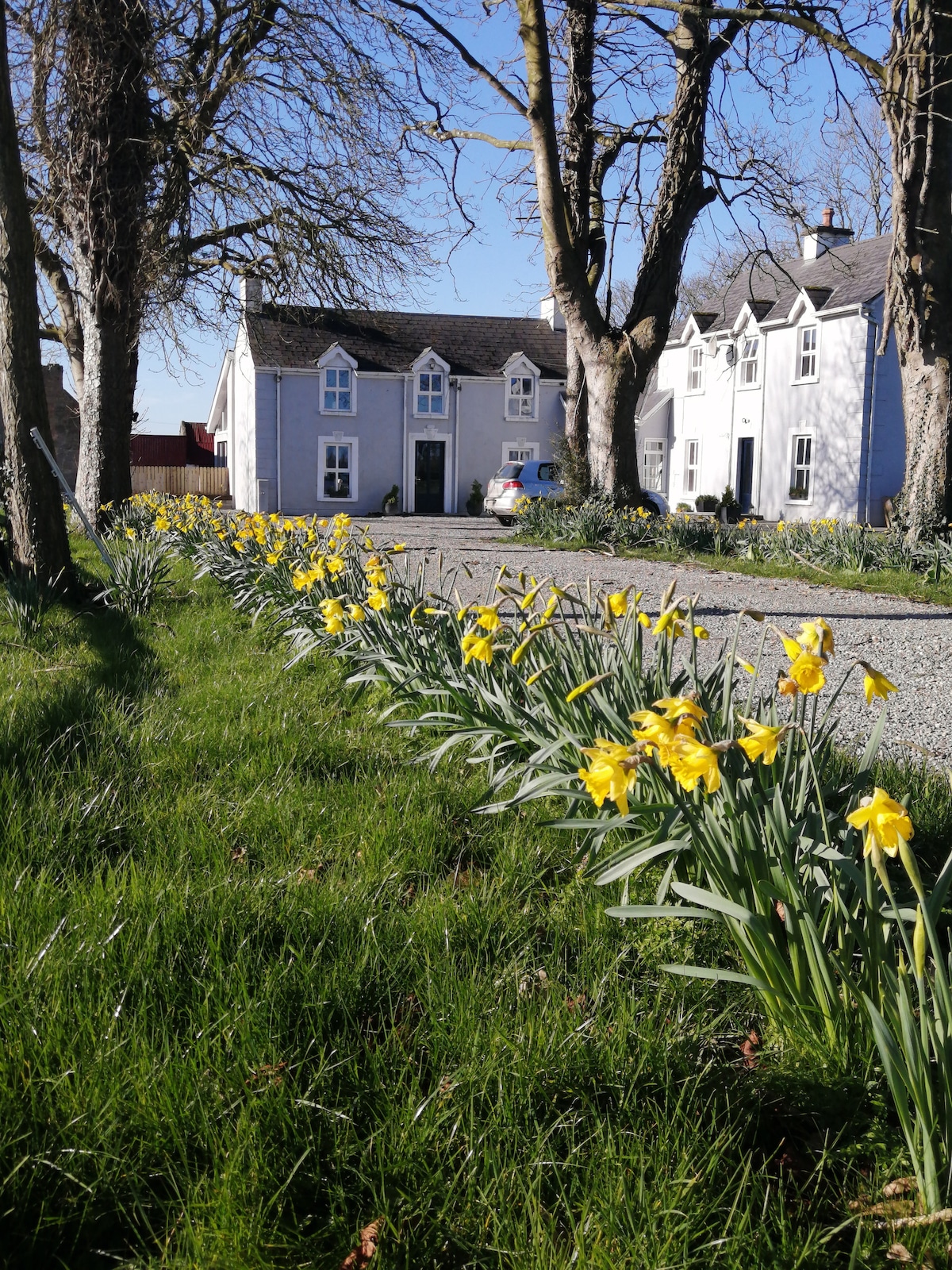 Enclosure in Clonmore (killavinoge Par.)Enclosure · 1.6 mi
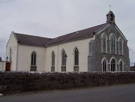 Saint Anne's Catholic Churchchurch/chapel · 1.9 mi
 CastleCastle, ringwork · 2.0 mi
 College HillMountain / peak · 2.0 mi
 Longford WoodForest · 3.3 mi
 Clonbuogh Castle (in ruins)Castle, tower house · 3.8 mi
 Black HillMountain / peak · 4.0 mi
 Carricknasrock WoodWood · 4.4 mi
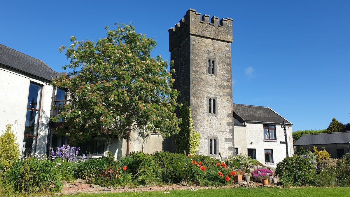 Enclosure in ClonakennyEnclosure · 1.9 mi
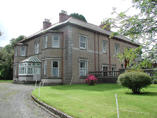 Skehanagh Househouse · 2.1 mi
Other information
Photo: Credit not shown in the picture search · Rights wording not checked; contact us if this picture should be removed