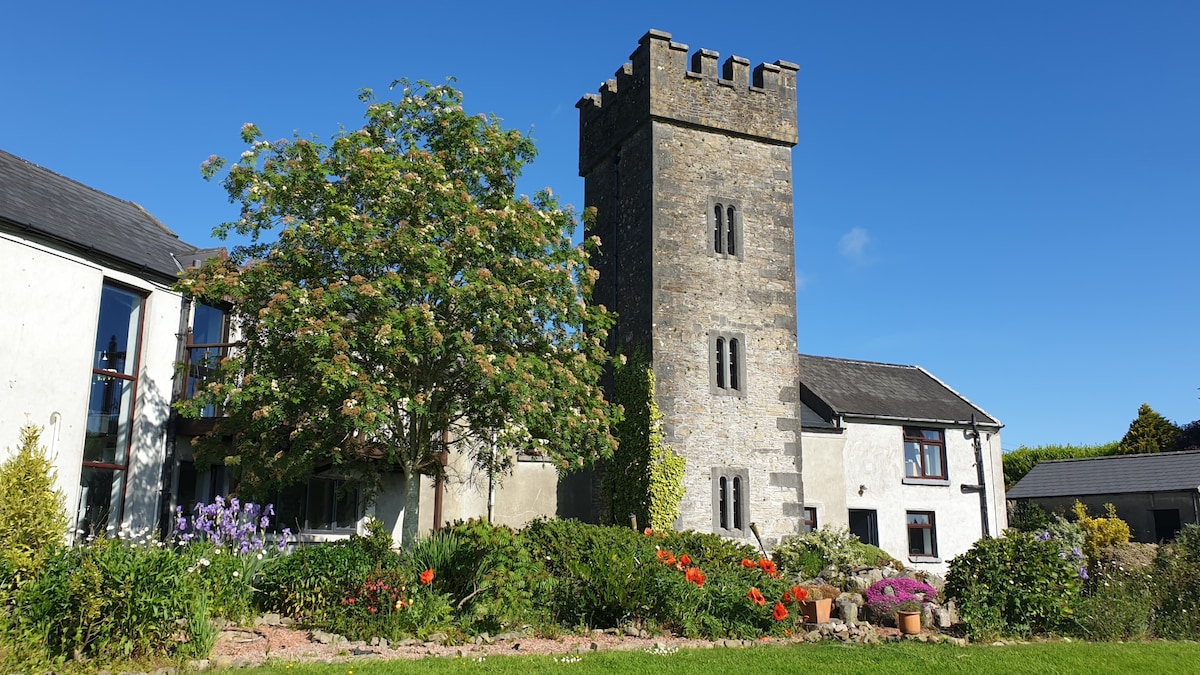
What is recorded here
Situated in relatively flat terrain with occasional hillocks, site is located at the base of one such hillock which lies immediately W of the site. In reclaimed pasture. No visible trace of this site above ground. Site was identified on an aerial photograph (GSI June 1973 S. 84/3) as a circular enclosure but is not indicated on 1st (1840) or 2nd (1904) ed. 6" OS 6-inch map.
Compiled by: Jean Farrelly and Caimin O'Brien
Date of upload/revision: 22 September 2008
This remains an important historical record, but the official description says the monument is no longer visible or has been destroyed. The monument record does not grant public access. Check the route and ask the landowner before entering private land.
- What survives
- No visible remains or recorded as destroyed
Places near here
 Castle (in ruins)House, fortified house · 631 yd
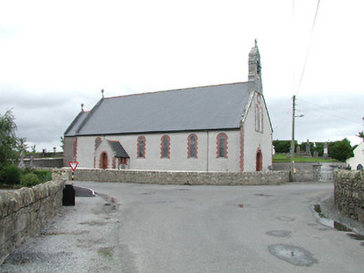 Saint Brigid's Catholic Churchchurch/chapel · 799 yd
 Killough Grave Yard (Disused)Ecclesiastical enclosure · 1.1 mi
 IndicatedEnclosure, large enclosure · 1.2 mi
 Fortescuecottage ornee · 1.2 mi
 Longford WoodForest · 1.5 mi
 OutlinedCastle, Anglo-Norman masonry castle · 2.4 mi
 College HillMountain / peak · 2.7 mi
 Black HillMountain / peak · 3.9 mi
 Carricknasrock WoodWood · 4.4 mi
 Thomas MacDonagh Heritage CentreMuseum · 10 mi
 MacDonagh HouseMemorial · 10 mi
Other information
Photo: Credit not shown in the picture search · Rights wording not checked; contact us if this picture should be removed