
What is recorded here
In pasture. Indicated as a curvilinear field on the 1st (1840) ed. OS 6-inch map but not on the 1902 revision. A large roughly circular enclosure (int. diam. 75m N-S; 78m E-W) defined by scarp (H above ext. ground level 0.5-0.75m in N and W sectors; c. 1.5m in E sector) and a fosse (Wth c. 3.5m), visible on satellite imagery (Digitalglobe, imagery date 2011-2013) identified and reported by Emmet Byrnes and Johnny Ryan. A small farmyard is depicted in the SE quadrant on the 1st ed. OS 6-inch map and remnants of this still survive, within a small rectangular copse of trees (pers. comm. Johnny Ryan, 30 March 2023). The perimeter of the enclosure is truncated in the SE sector by modern field drain (Wth 5m) (ibid.).
See attached imagery:
TN023-072----_01 Satellite imagery (Digitalglobe, imagery date 2011-2013)
TN023-072----_02 Overall view of enclosure looking W (photograph by Johnny Ryan)
TN023-072----_03 E half of enclosure looking S (photograph by Johnny Ryan)
TN023-072----_04 NW side of enclosure showing infilled fosse, looking S (photograph by Johnny Ryan)
TN023-072----_05 S end of enclosure truncated by later field boundary, looking NE (photograph by Johnny Ryan)
Compiled by: Jean Farrelly
Date of upload: 24 April 2023
A local fairy fort (ringfort/rath); wider significance not recorded.
The monument record does not grant public access. Check the route and ask the landowner before entering private land.
- What survives
- Recorded monument
Places near here
 Enclosure in KnockaunavoggaEnclosure · 641 yd
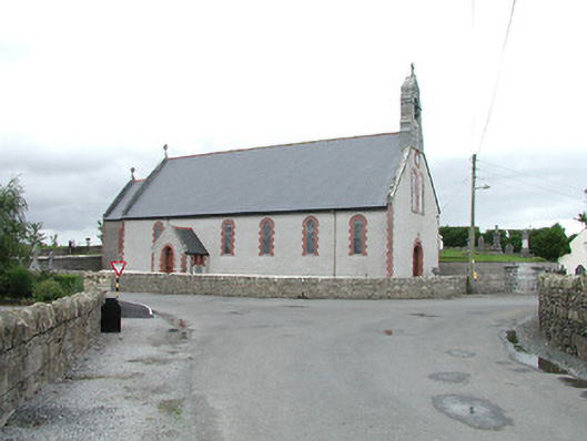 Saint Brigid's Catholic Churchchurch/chapel · 1389 yd
 Castle (in ruins)House, fortified house · 1645 yd
 Longford WoodForest · 1753 yd
 Enclosure in Longford WoodEnclosure · 1.2 mi
 OutlinedCastle, Anglo-Norman masonry castle · 1.2 mi
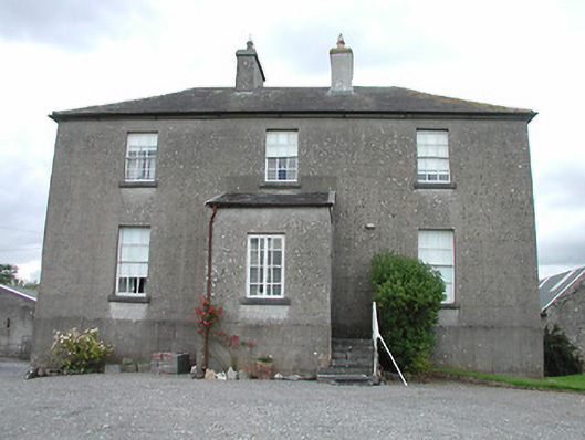 rectory/glebe/vicarage/curate's houserectory/glebe/vicarage/curate's house · 1.4 mi
 BenduffMountain / peak · 3.6 mi
 College HillMountain / peak · 3.8 mi
 Carricknasrock WoodWood · 4.5 mi
 Roscrea Petty Sessions HouseHeritage attraction · 5.2 mi
 Thomas MacDonagh Heritage CentreMuseum · 9.2 mi
Other information
Photo: Credit not shown in the picture search · Rights wording not checked; contact us if this picture should be removed