
What is recorded here
Located on a natural hillock which appears to have been scarped to the N and W to give a steeper profile. The immediate terrain at the base of the hillock is wet and marshy. The ground level rises to the W and NE. The site consists of a roughly square-shaped mound or possible ringwork (TN017-050002-) delimited by a stone wall or bawn, best preserved in the NW and SW angles and along the S side of the site where it forms a revetment for the mound. The wall (int. H 2m; ext. H 3.4m; T 1m) is composed of roughly coursed sandstone rubble with quartz inclusions, utilising both flat and rounded boulders. No visible remains of the long rectangular building indicated on the 1901-5 OS 6-inch map along the interior of the bawn on the S side. A possible structure in the NW angle of the site appears as collapsed walling in a roughly horseshoe shape. The Civil Survey (1654-6) describes this as 'a stumpe of a castle' (Simington 1931, vol. 1, 7).
The above description is derived from 'The Archaeological Inventory of County Tipperary. Vol. 1 - North Tipperary' compiled by Jean Farrelly and Caimin O'Brien (Dublin: Stationery Office, 2002). In certain instances the entries have been revised and updated in the light of recent research.
Date of upload/revision: 22 September 2008
A local castle; wider significance not recorded.
The monument record does not grant public access. Check the route and ask the landowner before entering private land.
- What survives
- Recorded monument
Places near here
 Kiln in Boola (bourney Par.)Kiln · 1121 yd
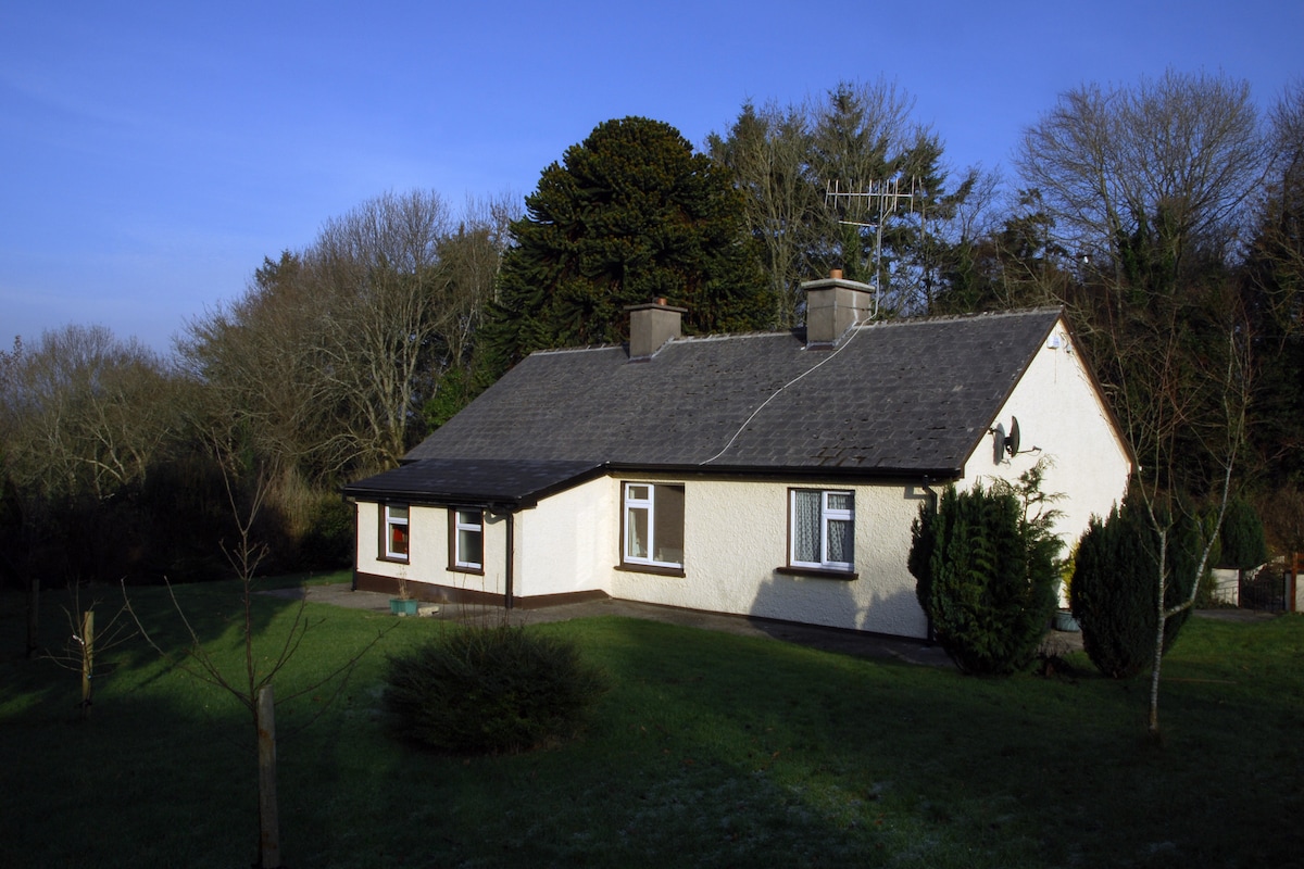 Habitation site in Ballyslea,boola (bourney Par.)Habitation site · 1509 yd
 Grave YardEcclesiastical enclosure · 1.1 mi
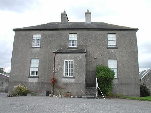 rectory/glebe/vicarage/curate's houserectory/glebe/vicarage/curate's house · 1.2 mi
 Castle (in ruins)Castle, tower house · 1.2 mi
 Dotted lineBawn · 1.4 mi
 Longford WoodForest · 1.8 mi
 BenduffMountain / peak · 4.0 mi
 Black HillMountain / peak · 4.3 mi
 White MulberryWhite Mulberry · 4.3 mi
 Roscrea Petty Sessions HouseHeritage attraction · 4.3 mi
 Millennium GardenMemorial · 5.3 mi
Other information
Photo: Credit not shown in the picture search · Rights wording not checked; contact us if this picture should be removed