
What is recorded here
Situated on a NE-facing slope just off the crest of a small hillock. The land drops immediately NE of the site down towards the River Nore which is c. 100m distant. Not indicated on the 1st ed. (1840) OS 6-inch map but indicated as a hachured enclosure on the 1904 ed. According to Stout (1984, 73) the site was levelled in the 1970s. Not visible at ground level.
The above description is derived from 'The Archaeological Inventory of County Tipperary. Vol. 1 - North Tipperary' compiled by Jean Farrelly and Caimin O'Brien (Dublin: Stationery Office, 2002). In certain instances the entries have been revised and updated in the light of recent research.
Date of upload/revision: 22 September 2008
The monument record does not grant public access. Check the route and ask the landowner before entering private land.
- What survives
- Recorded monument
Places near here
 Hollywell Millmill (water) · 684 yd
 Holly WellHoly well · 867 yd
 Longford WoodForest · 929 yd
 Cliff-edge fort in Summerhill (rathnaveoge Par.)Cliff-edge fort · 1053 yd
 CastleCastle, ringwork · 1.2 mi
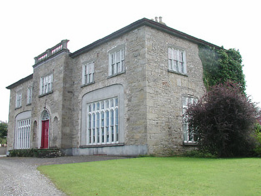 Lisduff Housecountry house · 1.4 mi
 OutlinedCastle, Anglo-Norman masonry castle · 1.4 mi
 BenduffMountain / peak · 2.6 mi
 Borrisnoe MountainMountain / peak · 3.4 mi
 Roscrea Petty Sessions HouseHeritage attraction · 5.8 mi
 Kyleroe WoodWood · 6.0 mi
 Thomas MacDonagh Heritage CentreMuseum · 8.1 mi
Other information
Photo: Credit not shown in the picture search · Rights wording not checked; contact us if this picture should be removed