
What is recorded here
Situated on a low hillock in an upland area with a nearby ringfort (TN022-011) to the S. A raised circular area (diam. 27m N-S) enclosed by an earth and stone bank (Wth 2m; int. H 0.3m; ext. H 2.5m) mainly reduced to a scarp with a fosse (Wth 3.5m; D 0.5m) and outer bank (Wth 2.5m) visible at E only. A gap (Wth 6m) in the inner bank at SE may be the original entrance feature. The possible wall footings of a rectangular building (11m N-S x 4m E-W) protrude from the surface of the interior at the centre of the site and there are wall footings on top of the denuded bank.
The above description is derived from 'The Archaeological Inventory of County Tipperary. Vol. 1 - North Tipperary' compiled by Jean Farrelly and Caimin O'Brien (Dublin: Stationery Office, 2002). In certain instances the entries have been revised and updated in the light of recent research.
Date of upload/revision: 22 September 2008
A local castle; wider significance not recorded.
The monument record does not grant public access. Check the route and ask the landowner before entering private land.
- What survives
- Recorded monument
Places near here
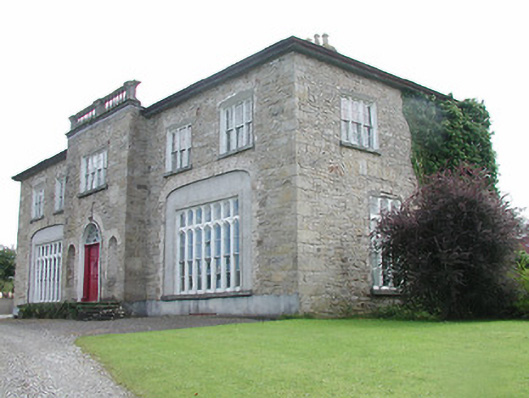 Lisduff Housecountry house · 554 yd
 Enclosure in Moatquarter (rathnaveoge Par.)Enclosure · 659 yd
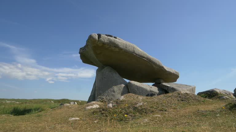 Delany's StoneArchaeological place · 830 yd
 Church (in Ruins)Church · 1269 yd
 MoatCastle, motte · 1392 yd
 Longford WoodForest · 1.7 mi
 BenduffMountain / peak · 1.7 mi
 Castle (in ruins)Castle, tower house · 1.8 mi
 Borrisnoe MountainMountain / peak · 2.9 mi
 Kyleroe WoodWood · 4.8 mi
 Roscrea Petty Sessions HouseHeritage attraction · 6.5 mi
 Thomas MacDonagh Heritage CentreMuseum · 7.1 mi
Other information
Photo: Credit not shown in the picture search · Rights wording not checked; contact us if this picture should be removed