
What is recorded here
Situated on top of high ground in upland area with river and Moatquarter motte in Co. Tipperary to N of church. Long rectangular church (ext. dims. 27.5m N-S; 9.1m E-W; wall T 1m) built with roughly coursed limestone and sandstone rubble with base batter visible on rebuilt N wall. The N wall has been recently rebuilt by local people with the arch of a late medieval door cemented into base of wall and a hanging eye also cemented into the W end of the N wall. There is a reconstructed narrow slit window at the E end of the N wall. A single splay of a window survives at the E end of the S wall. No other features visible. The church is located in the N sector of a large graveyard (OF047-009001-) containing 18th/19th-century headstones.
The above description is derived from the published 'Archaeological Inventory of County Offaly' (Dublin: Stationery Office, 1997). In certain instances the entries have been revised and updated in the light of recent research.
Date of upload: 23 May 2011
A local church or high cross; wider significance not recorded.
The monument record does not grant public access. Check the route and ask the landowner before entering private land.
- What survives
- Recorded monument
Places near here
 MoatCastle, motte · 336 yd
 Enclosure in BusherstownEnclosure · 427 yd
 Enclosure in Moatquarter (rathnaveoge Par.)Enclosure · 498 yd
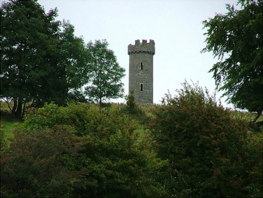 Busherstown Towerfolly · 861 yd
 KilnKiln, corn-drying · 1011 yd
 CastleCastle, ringwork · 1269 yd
 BenduffMountain / peak · 1.8 mi
 Longford WoodForest · 2.4 mi
 Borrisnoe MountainMountain / peak · 3.1 mi
 Kyleroe WoodWood · 4.4 mi
 Thomas MacDonagh Heritage CentreMuseum · 6.4 mi
 MacDonagh HouseMemorial · 6.4 mi
Other information
Photo: Credit not shown in the picture search · Rights wording not checked; contact us if this picture should be removed