
What is recorded here
Situated on the NW slope of a fairly steep hill. The exact location is difficult to pinpoint as the field boundaries have been changed and the site levelled. Depicted as a circular enclosure on the 1st ed. (1840) OS 6-inch map, however on the 1901 ed. only a portion of the bank at W is depicted. Not visible at ground level. A farmhouse and outbuilding are located c. 100m E of the approximate site location.
The above description is derived from 'The Archaeological Inventory of County Tipperary. Vol. 1 - North Tipperary' compiled by Jean Farrelly and Caimin O'Brien (Dublin: Stationery Office, 2002). In certain instances the entries have been revised and updated in the light of recent research.
Date of upload/revision: 06 September 2010
This monument is subject to a preservation order made under the National Monuments Acts 1930 to 2014 (PO no. 4/2008).
The monument record does not grant public access. Check the route and ask the landowner before entering private land.
- What survives
- Recorded monument
Places near here
 MoatCastle, motte · 192 yd
 Church (in Ruins)Church · 498 yd
 Structure in LoughanStructure · 567 yd
 Enclosure in BusherstownEnclosure · 650 yd
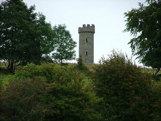 Busherstown Towerfolly · 820 yd
 CastleCastle, ringwork · 1572 yd
 BenduffMountain / peak · 2.1 mi
 Longford WoodForest · 2.5 mi
 Borrisnoe MountainMountain / peak · 3.4 mi
 Kyleroe WoodWood · 4.5 mi
 Thomas MacDonagh Heritage CentreMuseum · 6.2 mi
 MacDonagh HouseMemorial · 6.2 mi
Other information
Photo: Credit not shown in the picture search · Rights wording not checked; contact us if this picture should be removed