What is recorded here
Not visible at ground level. Quarry located where site was located which has destroyed any archaeological features which may have existed.
From the National Monuments Service (Archaeological Survey of Ireland) record OF047-007
The monument record does not grant public access. Check the route and ask the landowner before entering private land.
- What survives
- Recorded monument
Places near here
Photo credits
- National Inventory of Architectural Heritage
- AEJones, Wikimedia Commons · CC BY-SA 4.0
- Mike Searle, Geograph · CC BY-SA 2.0
- Paddy Ryan, Wikimedia Commons · CC BY-SA 4.0
- Mike Searle, Wikimedia Commons · CC BY-SA 2.0
- Dylan Moore, Geograph · CC BY-SA 2.0
Field boundary in DrumroeField boundary · 409 yd Busherstown TowerFolly · 485 ydBusherstown HouseCountry house · 1062 ydBusherstown HouseGate lodge · 1362 ydLisduff HouseCountry house · 1596 ydBenduffMountain / peak · 1.8 miLongford WoodForest · 2.5 miLongford WoodForest · 2.6 miIndicatedBawn · 3.6 miDevil's Bit MountainMountain / peak · 4.7 miKnockane CastleCastle · 4.8 miBorrisokaneHistoric town · 11 mi
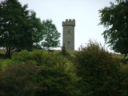 Busherstown TowerFolly · 485 yd
 Busherstown HouseCountry house · 1062 yd
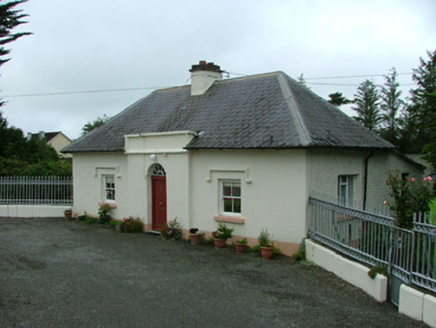 Busherstown HouseGate lodge · 1362 yd
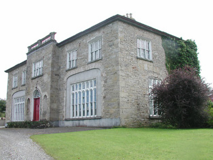 Lisduff HouseCountry house · 1596 ydBenduffMountain / peak · 1.8 miLongford WoodForest · 2.5 miLongford WoodForest · 2.6 mi
 IndicatedBawn · 3.6 mi
 Devil's Bit MountainMountain / peak · 4.7 mi
 Knockane CastleCastle · 4.8 mi
 BorrisokaneHistoric town · 11 mi
More archaeology and monuments in County Offaly · All of County Offaly
What do you know about this place?