What is recorded here
Standen, Sligo, 1935. Half a mile north on the cliff road, a chambered cairn keeps its dead under broken stone. We drove past it twice before we saw the entrance, because the sea grass hides everything it does not want shown.
The following description is derived from both the published 'Archaeological Inventory of County Louth' (Dublin: Stationery Office, 1986) and the 'Archaeological Survey of County Louth' (Dublin: Stationery Office, 1991). In certain instances the entries have been revised and updated in the light of recent research.
Date of upload/revision: 17 July 2007
Situated on gentle NE slope of high E-W ridge. Large blocks of fine-grained rock, tending to split into layers at a slant (H 3.2m, 1.8m by 0.9m in section), orientated NNW-SSE. N, S and E faces of stone are even, but W side is rutted and weathered. (CLAJ 1915, 386-7)
The monument record does not grant public access. Check the route and ask the landowner before entering private land.
- What survives
- Recorded monument
Places near here
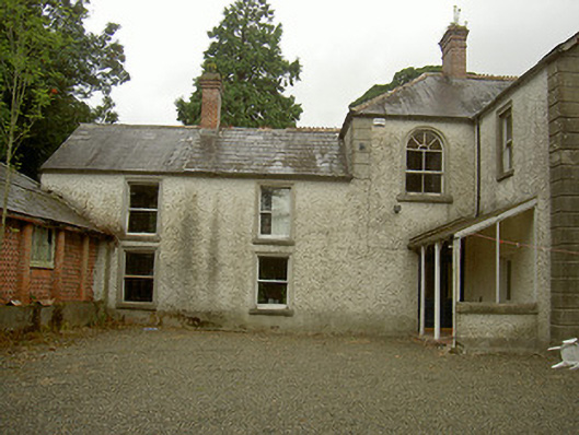 Toberdoney Househouse · 690 yd
 IndicatedHoly well · 748 yd
 Church in ToberdoneyChurch · 859 yd
 Rocjardstown CastleCastle, tower house · 1465 yd
 Monterey CypressMonterey Cypress · 1490 yd
 Graveyard in Richardstown (ardee By., Richardstown Par.)Graveyard · 1535 yd
 Not idicatatedCastle, unclassified · 1721 yd
 Enclosure in DrominEnclosure · 1.1 mi
 Graveyard in StickillinGraveyard · 1.4 mi
 Rathescar Lakeside WalkWood · 2.0 mi
 Mount OrielMountain / peak · 4.2 mi
 Black HillMountain / peak · 4.4 mi