
What is recorded here
Not idicatated, Paughanstown (ardee By; Kildemmock Par.) is a castle in Kildemmock parish, County Louth, recorded during the Down Survey (1656-8) and placed close to the Racoolle boundary. MacIvor (1950, 120) believed it stood on the south side of a lane leading to a farmhouse, yet no exact spot has emerged since. It may still lie beneath a field, a garden wall or a forgotten corner of that lane, waiting for someone to stop looking for a monument and start listening for the house.
A castle at Faughanstowne (49) in Kildemock parish close to the boundary with Racoolle is marked on Down Survey (1656-8) barony map, for which see this web-page accessed on 6 May, 2016 http://downsurvey.tcd.ie/down-survey-maps.php#bm=Atherdee&c=Louth MacIvor (1950, 120) contends that it was on the S side of a lane leading to a farmhouse, but the precise location is not known.
Compiled by: Michael Moore
Date of revision: 6 May 2016
The monument record does not grant public access. Check the route and ask the landowner before entering private land.
- What survives
- Recorded monument
Places near here
 Mullacurry Race CourseRuins · 517 yd
 Trinity WellHoly well · 821 yd
 Man-made underground passage in ClivenMan-made underground passage · 1130 yd
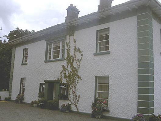 Roestown Househouse · 1594 yd
 Rathescar Lakeside WalkWood · 1.6 mi
 Rocjardstown CastleCastle, tower house · 1.8 mi
 Monterey CypressMonterey Cypress · 1.8 mi
 Graveyard in Richardstown (ardee By., Richardstown Par.)Graveyard · 1.8 mi
 CastleCastle, motte · 1.9 mi
 Graveyard in StickillinGraveyard · 1.9 mi
 Mount OrielMountain / peak · 3.2 mi
 Black HillMountain / peak · 3.4 mi
Other information
Photo: Credit not shown in the picture search · Rights wording not checked; contact us if this picture should be removed