What is recorded here
In pasture with commanding views over sea to S. Cupmarked stone (CO126-010001-) to NE. Rectangular stone aligned NNE-SSW (H 1.8m; 0.95m x 0.65m).
The above description is derived from the published 'Archaeological Inventory of County Cork. Volume 1: West Cork' (Dublin: Stationery Office, 1992). In certain instances the entries have been revised and updated in the light of recent research.
Date of upload/revision: 14 January 2009
Likely dating to the Neolithic or Bronze Age, this standing stone may have had ritual or territorial significance, possibly linked to the nearby cupmarked stone. Its alignment and location suggest a possible ceremonial or astronomical function, though specific folklore or use remains unrecorded.
The monument record does not grant public access. Check the route and ask the landowner before entering private land.
- What survives
- Recorded monument
Places near here
 Church (in Ruins)Church · 360 yd
 Tubrid, Holy WellHoly well · 581 yd
 Dursey Island National Schoolschool · 630 yd
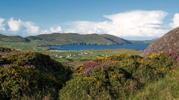 Hut site in Kilmichael (dursey Island)Hut site · 672 yd
 Fort (in Ruins)Castle, unclassified · 1240 yd
 Dursey IslandVisitor information · 1565 yd
 Dursey Cable CarHeritage attraction · 1.0 mi
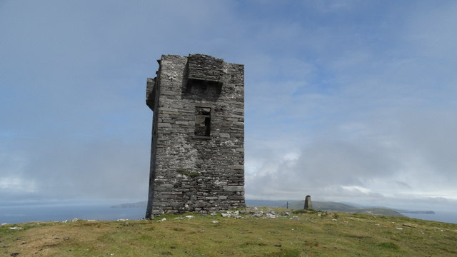 Cnoc BólaisMountain / peak · 1.3 mi
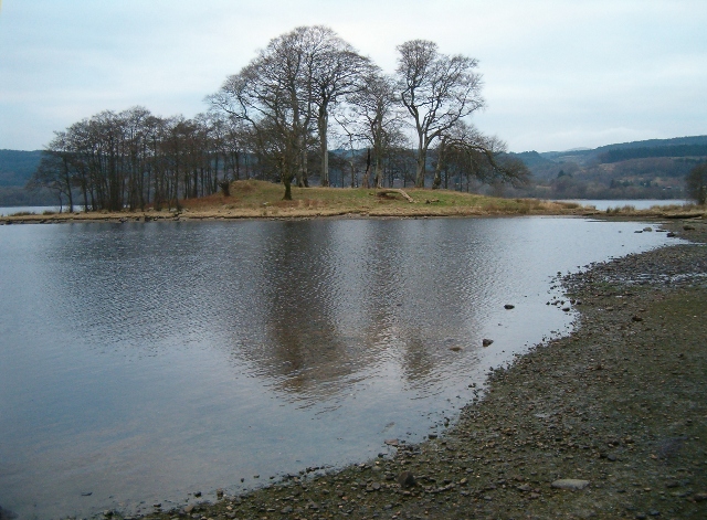 Crow IslandIslet · 1.5 mi
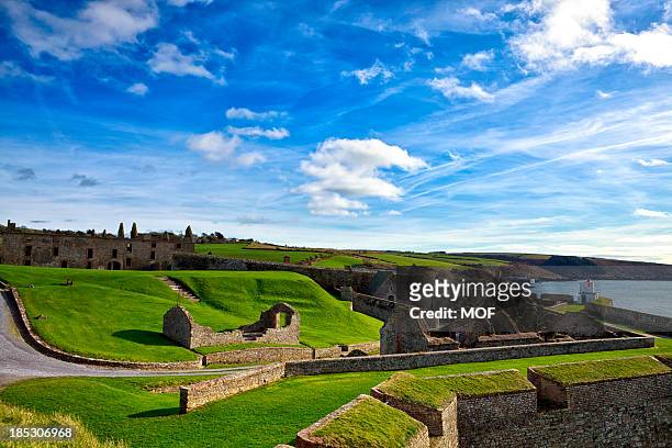 TranaduileasgBeach / strand · 2.1 mi
 Garnish StrandBeach / strand · 2.1 mi
 Little IslandIslet · 2.2 mi