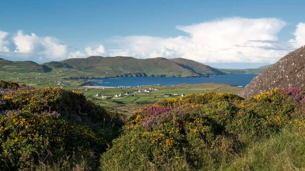
What is recorded here
On top of a terrace on S-facing slope, overlooking sea. Roughly circular area (6.1m E-W; 5.05m N-S) defined by stone wall (Wth 2.05m), one course high, with rubble core. Entrance feature covered by large slab on E side. Area generally used as dump for stones.
The above description is derived from the published 'Archaeological Inventory of County Cork. Volume 1: West Cork' (Dublin: Stationery Office, 1992). In certain instances the entries have been revised and updated in the light of recent research.
Date of upload/revision: 14 January 2009
The monument record does not grant public access. Check the route and ask the landowner before entering private land.
- What survives
- Recorded monument
Places near here
 Dursey Island National Schoolschool · 327 yd
 Church (in Ruins)Church · 364 yd
 Enclosure in Kilmichael (dursey Island)Enclosure · 960 yd
 Dursey IslandIsland · 1038 yd
 Field boundary in Kilmichael (dursey Island)Field boundary · 1062 yd
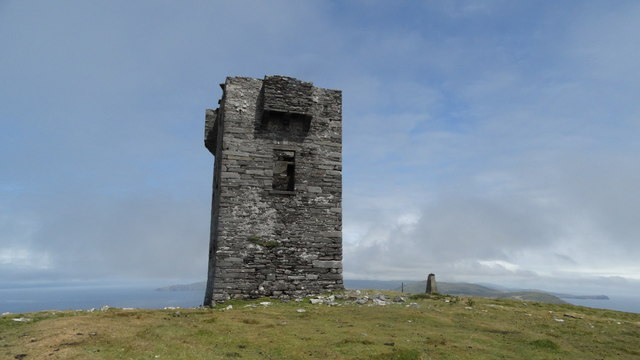 Cnoc BólaisMountain / peak · 1664 yd
 Fort (in Ruins)Castle, unclassified · 1.1 mi
 Dursey Cable CarHeritage attraction · 1.4 mi
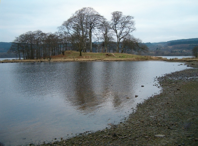 Crow IslandIslet · 1.5 mi
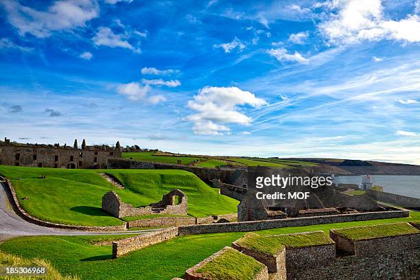 TranaduileasgBeach / strand · 2.5 mi
 Garnish StrandBeach / strand · 2.5 mi
 Little IslandIslet · 2.6 mi
Other information
Photo: Credit not shown in the picture search · Rights wording not checked; contact us if this picture should be removed