
What is recorded here
Dursey Island keeps a hidden ribbon of stone beneath its cutaway bog. Turf-cutters broke through the surface to reveal collapsed boundaries stretching one hundred and seventy metres from the cliff top along the hillslope. They took stones from the old walls to build rectangular turf stands, but those stands are abandoned now. The field markers remain buried under pasture and memory, waiting for the next person who cuts deep enough to see them.
In rough hill pasture, on cutaway bog, on the N-facing slopes of Dursey Island. Turf-cutting has exposed a series of collapsed, relict, stone field boundaries (T 0.5m; H 0.4m) extending in a general NW-SE direction from a cliff-top up along the side of the hillslope for a distance of c. 170m. The relict boundaries are set on the underlying mineral soil. At intermittent intervals some material from the relict boundaries has been used to construct rectangular turf stands for stacking turf. These latter structures are now abandoned.
The above description is derived from 'The Archaeological Inventory of County Cork. Volume 5' (Dublin: Stationery Office, 2009).
Date of upload: 22 December 2009
The monument record does not grant public access. Check the route and ask the landowner before entering private land.
- What survives
- Recorded monument
Places near here
 Enclosure in Kilmichael (dursey Island)Enclosure · 180 yd
 Dursey Island National Schoolschool · 845 yd
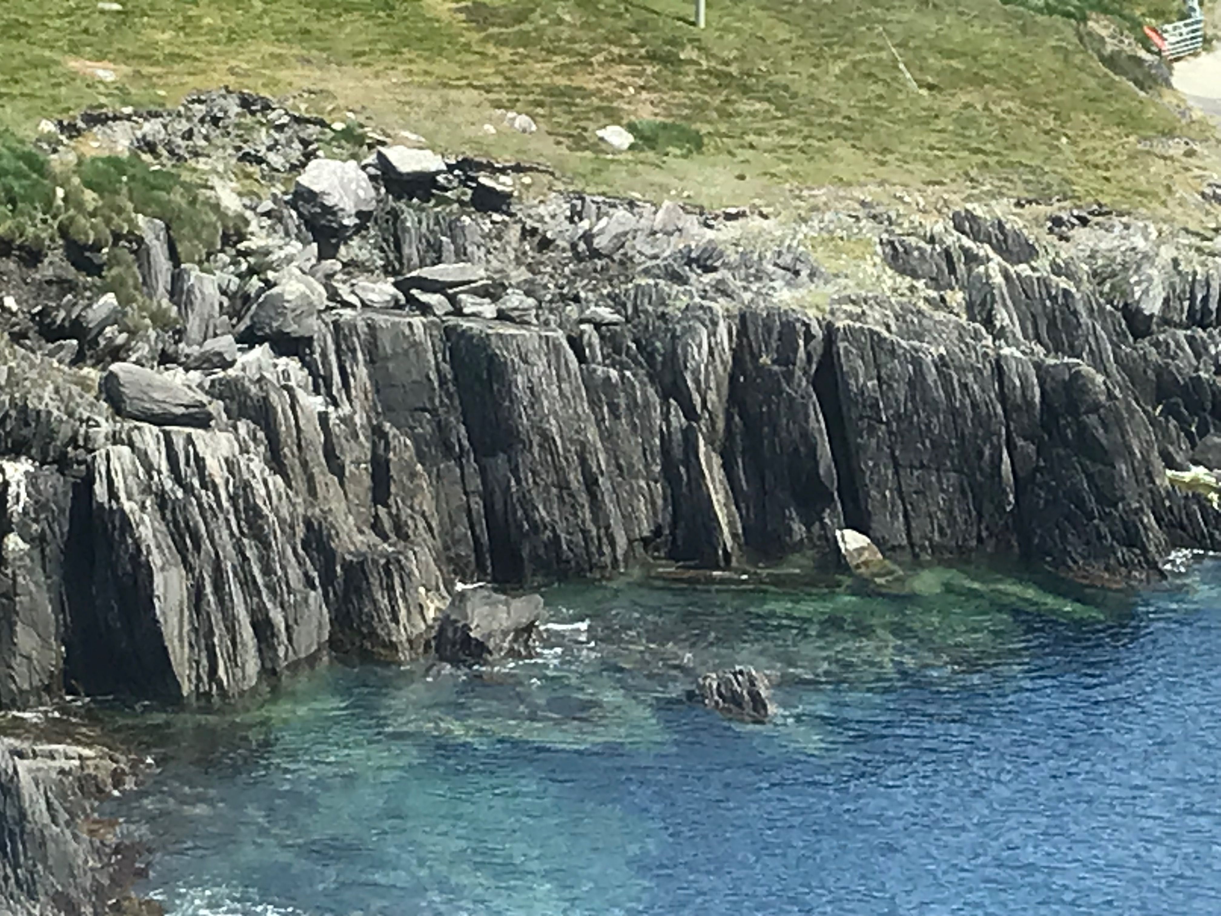 Fulacht fia in Kilmichael (dursey Island)Fulacht fia · 851 yd
 Dursey IslandIsland · 1072 yd
 Church (in Ruins)Church · 1110 yd
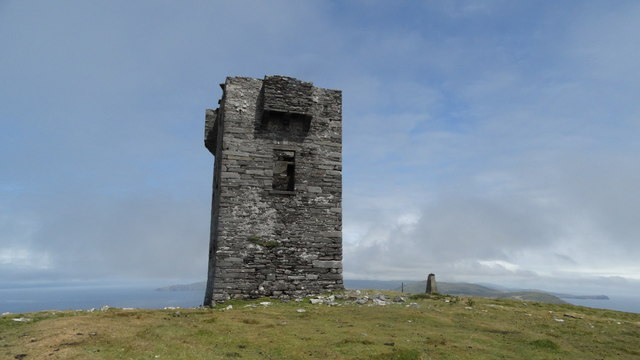 Cnoc BólaisMountain / peak · 1353 yd
 Fort (in Ruins)Castle, unclassified · 1.5 mi
 Dursey Cable CarHeritage attraction · 1.7 mi
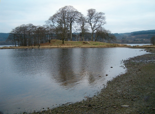 Crow IslandIslet · 2.1 mi
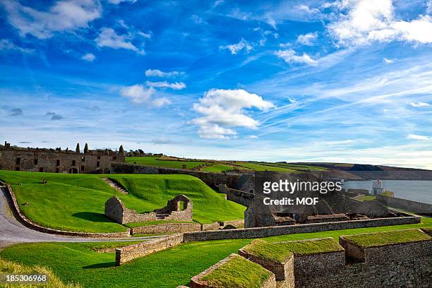 TranaduileasgBeach / strand · 2.8 mi
 Little IslandIslet · 2.8 mi
 Garnish StrandBeach / strand · 2.8 mi
Other information
Photo: Credit not shown in the picture search · Rights wording not checked; contact us if this picture should be removed