What is recorded here
Ballymot held a tall pillar stone, yet its exact position has slipped from human memory. Some accounts call it sandstone and others limestone, while height claims swing between four and six feet. The ground kept the marker but people lost the point, leaving a ghost shape behind ordinary soil.
According to O'Leary (1918, 74), 'In this townland is a pillar-stone over six feet in height and of sandstone'. Hurse (1926, 90) records the stone as four foot six inches high and of limestone. Exact location not known.
The above description is derived from the published 'Archaeological Inventory of County Cork. Volume 2: East and South Cork' (Dublin: Stationery Office, 1994). In certain instances the entries have been revised and updated in the light of recent research.
Date of upload/revision: 14 January 2009
Likely dating to the Bronze Age, the stone may have served as a territorial marker or ceremonial monument. Local tradition and early records suggest it could have been associated with ancient pathways or ritual practices, though specific folklore is not documented.
The monument record does not grant public access. Check the route and ask the landowner before entering private land.
- What survives
- Recorded monument
Places near here
 Fulacht fia in ParkgarriffFulacht fia · 727 yd
 IndicatedFairy fort / earthen ringfort · 830 yd
 sign postsign post · 1502 yd
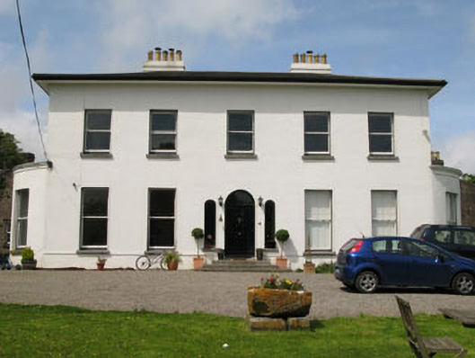 Raffeen Housecountry house · 1530 yd
 Rochestown WoodWood · 1.9 mi
 Passage West Maritime MuseumMuseum · 1.9 mi
 Ronayns CourtHouse, fortified house · 2.3 mi
 Marino PointHeadland · 2.4 mi
 Cork WalksVisitor information · 5.6 mi
 Lavitts QuayMemorial · 5.8 mi
 Enclosure in RaheeneringEnclosure · 1389 yd
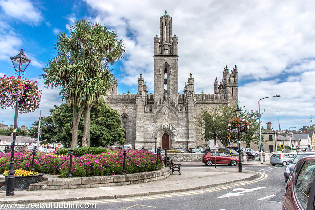 Monkstown Church (in Ruins)Church · 1672 yd