What is recorded here
O'Leary measured a curved limestone block in Ballyhemiken before reclamation tools swallowed it in the 1960s. The standing stone likely marked boundary, memory or worship, yet human urgency turned ancient patience into soil. Forgetting is not loss of fact but loss of witness, and the field has stopped answering questions it once answered.
Stone (H c. 1m; c. 0.75m x c. 0.4) removed in 1960s during reclamation (pers. comm. S. O'Mahony). Possibly same stone described by O'Leary (1919, 35) as 'a block of limestone with curved top 32in by 24in by 14in'.
The above description is derived from the published 'Archaeological Inventory of County Cork. Volume 2: East and South Cork' (Dublin: Stationery Office, 1994). In certain instances the entries have been revised and updated in the light of recent research.
Date of upload/revision: 14 January 2009
Likely dating to the Neolithic or Bronze Age, this standing stone may have had ritual or territorial significance. No specific folklore or use is recorded for the site.
The monument record does not grant public access. Check the route and ask the landowner before entering private land.
- What survives
- Recorded monument
Places near here
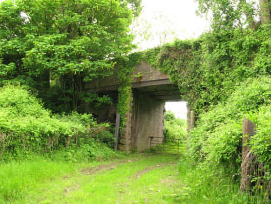 Ballyhemiken Bridgebridge · 138 yd
 IndicatedFairy fort / earthen ringfort · 641 yd
 Pit-burial in Carrigaline MiddlePit-burial · 688 yd
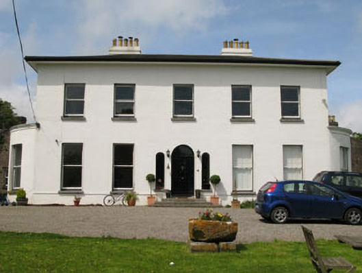 Raffeen Housecountry house · 1368 yd
 Cogan's CastleCastle · 1.1 mi
 Ballea CastleCastle, tower house · 1.8 mi
 Pauper's GraveyardArchaeological place · 2.0 mi
 Cork WalksVisitor information · 6.0 mi
 Lavitts QuayMemorial · 6.2 mi
 Mount Hillary - Knightfield LoopWalking route · 28 mi
 Enclosure in Carrigaline MiddleEnclosure · 711 yd
 Burnt spread in Carrigaline MiddleBurnt spread · 732 yd