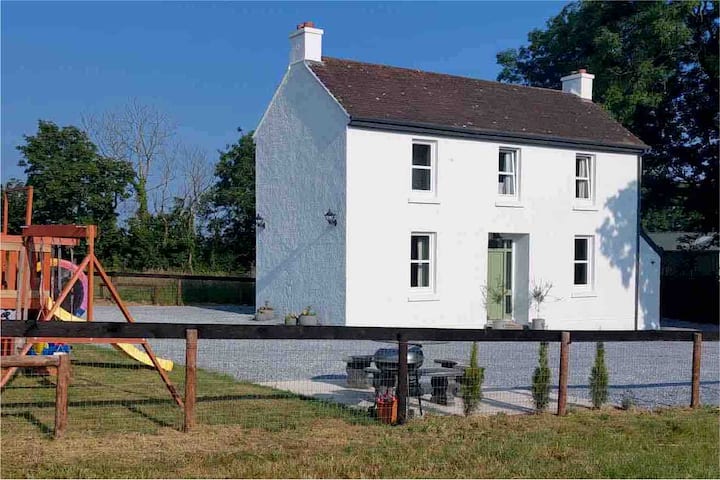
What is recorded here
This enclosure (37.5m x 31m), which is defined by a fosse, predates and is truncated by a rath (CO087-030----) and was identified during a geophysical survey prior to pre-development archaeological testing on a large housing development named Herons Wood at Carrigaline Middle (Sherlock 2002; 2004, 62-3). Only the W arc of the fosse (L c. 30m) which lay outside the rath at W was excavated. The sides of the fosse (Wth 1.6m; D 0.9m) sloped regularly to a flat base (Wth 0.3-0.4m) and it was filled with a stony silty clay. No archaeological features were noted in the W portion of the interior, which was excavated.
The above description is derived from 'The Archaeological Inventory of County Cork. Volume 5' (Dublin: Stationery Office, 2009).
Date of upload: 22 December 2009
The monument record does not grant public access. Check the route and ask the landowner before entering private land.
- What survives
- Recorded monument
Places near here
 Pit-burial in Carrigaline MiddlePit-burial · 55 yd
 Burnt spread in Carrigaline MiddleBurnt spread · 84 yd
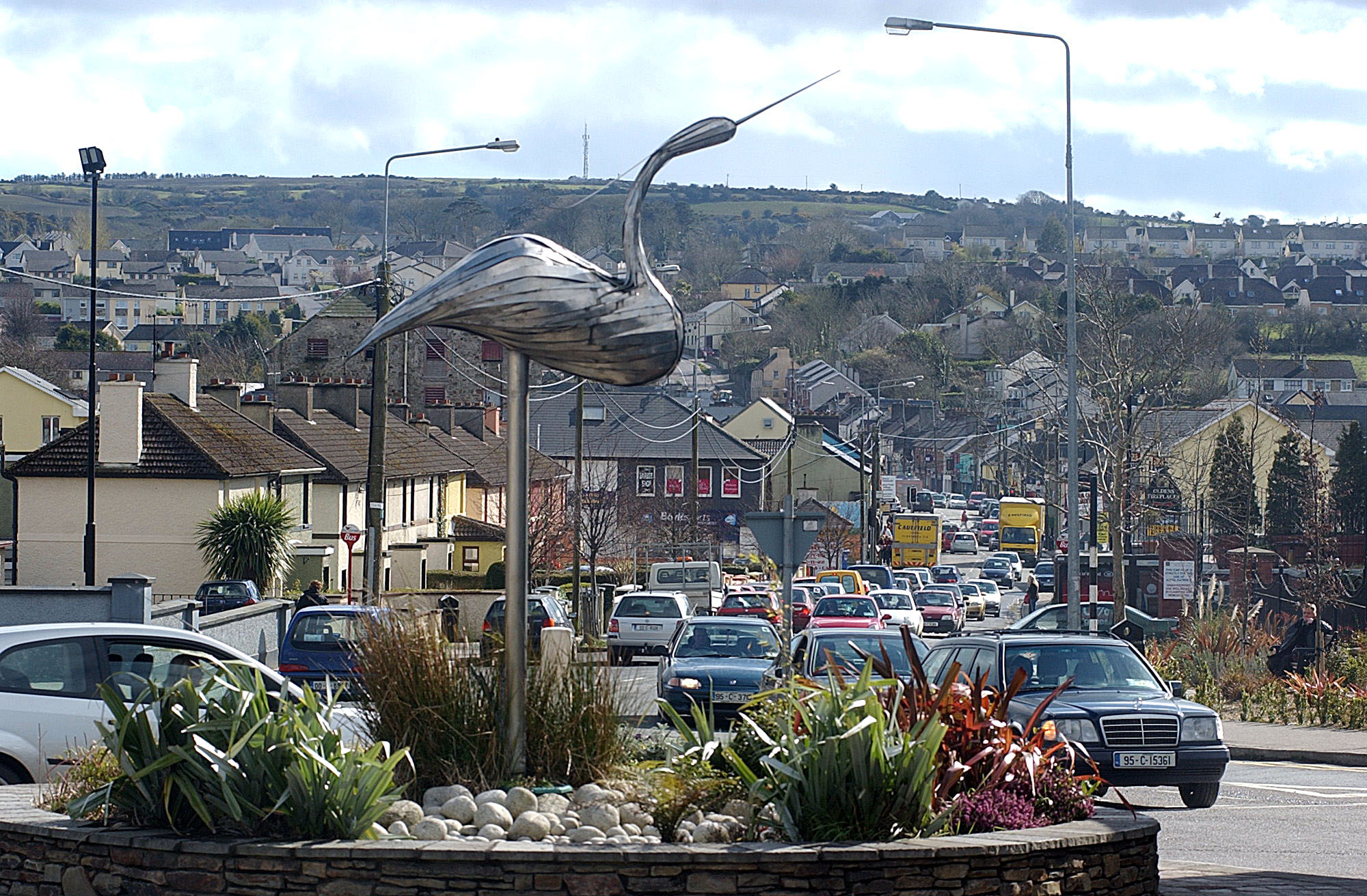 IndicatedKiln, lime · 364 yd
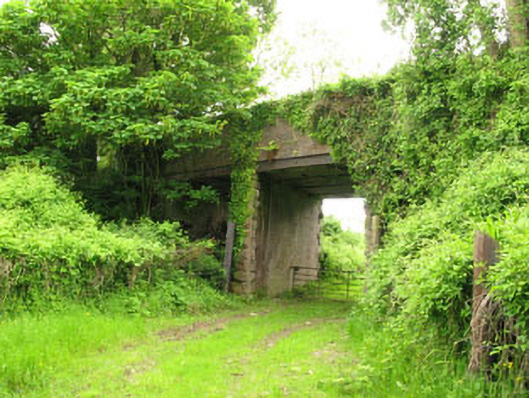 Ballyhemiken Bridgebridge · 584 yd
 Cogan's CastleCastle · 1633 yd
 Ballea CastleCastle, tower house · 1.5 mi
 Pauper's GraveyardArchaeological place · 2.1 mi
 Be Framed Fine Art GalleryGallery · 4.2 mi
 Graveyard in CurraghconwayGraveyard · 4.3 mi
 Goat IslandIslet · 4.3 mi
 Vernon Mount ViewViewpoint · 4.7 mi
 City View SummitViewpoint · 4.8 mi
Other information
Photo: Credit not shown in the picture search · Rights wording not checked; contact us if this picture should be removed