
What is recorded here
An oblong spread (2.1m E-W; 0.45m N-S) of charcoal-enriched soil was identified during archaeological test-trenching in 2001 in advance of a proposed housing development (Sherlock 2002, 11, feature 5).
The above description is derived from 'The Archaeological Inventory of County Cork. Volume 5' (Dublin: Stationery Office, 2009).
Date of upload: 22 December 2009
The monument record does not grant public access. Check the route and ask the landowner before entering private land.
- What survives
- Recorded monument
Places near here
 Pit-burial in Carrigaline MiddlePit-burial · 53 yd
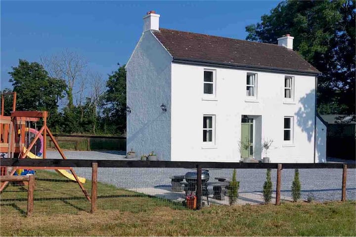 Enclosure in Carrigaline MiddleEnclosure · 84 yd
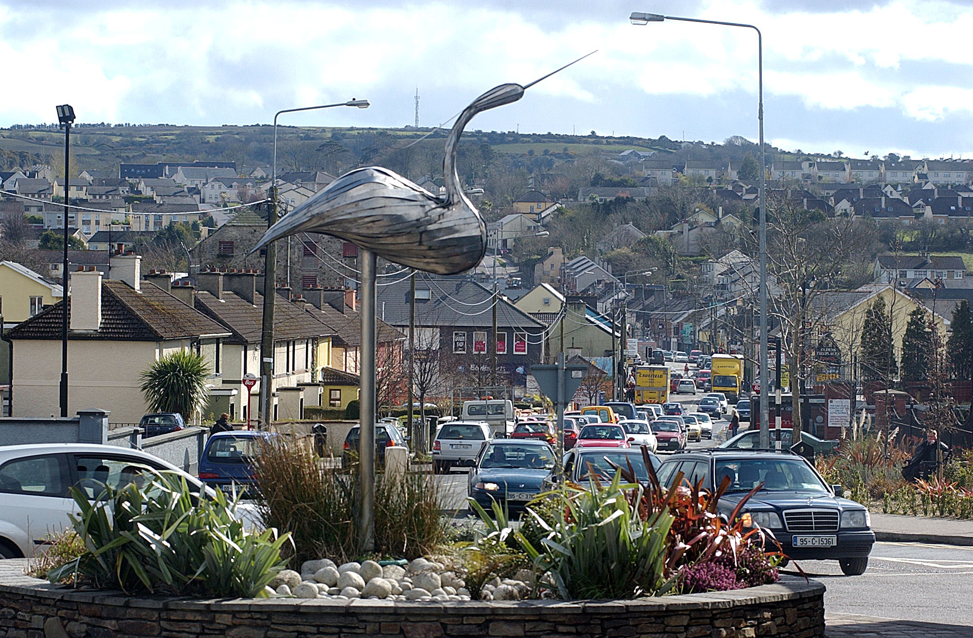 IndicatedKiln, lime · 420 yd
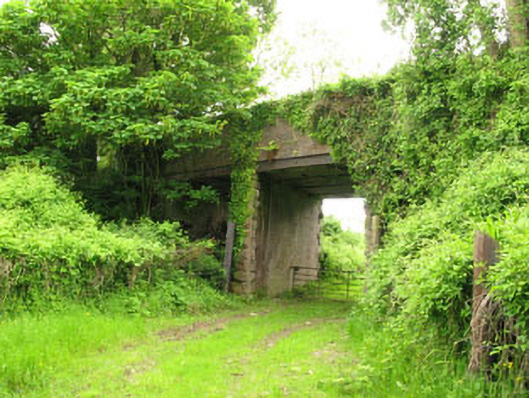 Ballyhemiken Bridgebridge · 612 yd
 Cogan's CastleCastle · 1712 yd
 Ballea CastleCastle, tower house · 1.5 mi
 Pauper's GraveyardArchaeological place · 2.1 mi
 Be Framed Fine Art GalleryGallery · 4.1 mi
 Graveyard in CurraghconwayGraveyard · 4.2 mi
 Goat IslandIslet · 4.2 mi
 Vernon Mount ViewViewpoint · 4.7 mi
 City View SummitViewpoint · 4.7 mi
Other information
Photo: Credit not shown in the picture search · Rights wording not checked; contact us if this picture should be removed