What is recorded here
An estimated two-metre stone stood beside the Glounatouig stream and a well until road works buried its original place. It now lies flat a short distance east, stripped of its vertical life but still large enough to mark the edge of a field. The building of the Ringaskiddy road did not kill the story, it only forced the story to stop pointing at the sky.
According to local information, stone stood "until recently" on S side of Glounatouig stream and adjacent to well. Site now under new Ringaskiddy road; stone (2m x 0.5m x 0.5m) lies beside field boundary c. 100m to E of original site (CO087-159----). (pers. comm. S. O'Mahony)
The above description is derived from the published 'Archaeological Inventory of County Cork. Volume 2: East and South Cork' (Dublin: Stationery Office, 1994). In certain instances the entries have been revised and updated in the light of recent research.
Date of revision: 16 December 2009
Revised by: Mary Tunney
Probably dates to the Late Neolithic or Bronze Age (c. 2500–500 BCE). May have marked a territorial boundary or had ritual significance, possibly linked to the nearby well as a site of water-related belief or healing.
The monument record does not grant public access. Check the route and ask the landowner before entering private land.
- What survives
- Recorded monument
Places near here
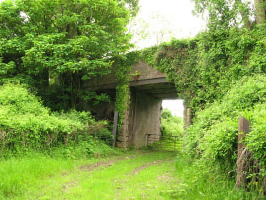 Ballyhemiken Bridgebridge · 410 yd
 IndicatedFairy fort / earthen ringfort · 613 yd
 Pit-burial in Carrigaline MiddlePit-burial · 921 yd
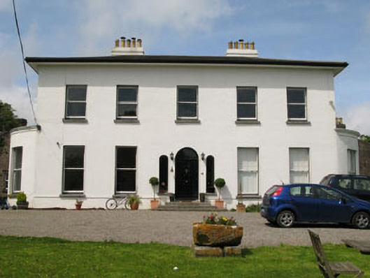 Raffeen Housecountry house · 1214 yd
 Cogan's CastleCastle · 1.2 mi
 Pauper's GraveyardArchaeological place · 1.8 mi
 Ballea CastleCastle, tower house · 1.9 mi
 Cork WalksVisitor information · 5.9 mi
 Lavitts QuayMemorial · 6.0 mi
 Mount Hillary - Knightfield LoopWalking route · 28 mi
 Enclosure in Carrigaline MiddleEnclosure · 953 yd
 Burnt spread in Carrigaline MiddleBurnt spread · 959 yd