What is recorded here
Marked only on the 1940 ed. of the OS 6-inch map, and situated towards the top of a SW-facing slope overlooking the NNW-SSE Bann River with the stream c. 900m to the SW. It was recorded in 1939 as a rectangular cross-section (dims c. 0.6m x c. 0.55m; H 0.85-1m) with a rectangular top (dims c. 0.6m x c. 0.2-25m) (OSFM). It was not visible at ground level in pasture in 1987.
The above description is derived from the published 'Archaeological Inventory of County Wexford' (Dublin: Stationery Office, 1996). In certain instances the entries have been revised and updated in the light of recent research.
Compiled by: Michael Moore
Date of upload/revision: 20 November 2012
The monument record does not grant public access. Check the route and ask the landowner before entering private land.
- What survives
- Recorded monument
Places near here
 Fulacht FianFulacht fia · 837 yd
 Laraheen HillMountain / peak · 1132 yd
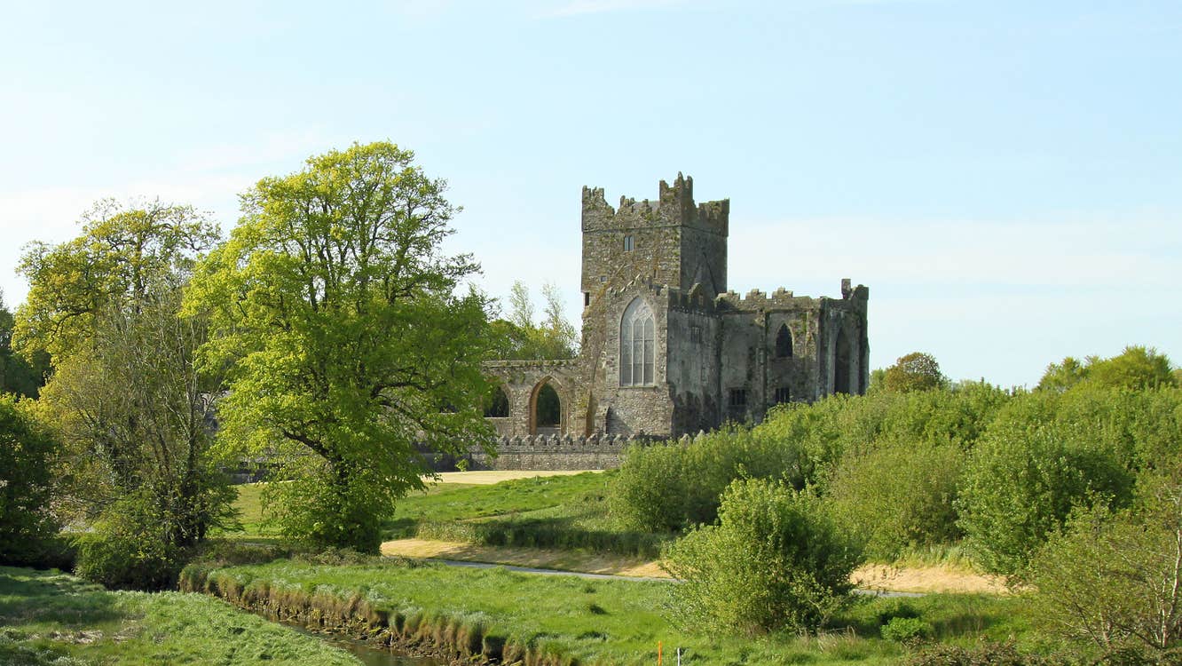 Fairy RathFairy fort / ringfort · 1203 yd
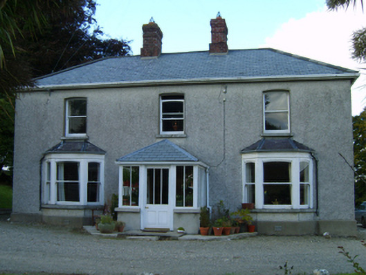 Great Grovefarm house · 1231 yd
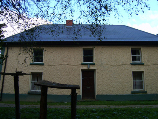 farm housefarm house · 1374 yd
 Ballingarry WoodForest · 1690 yd
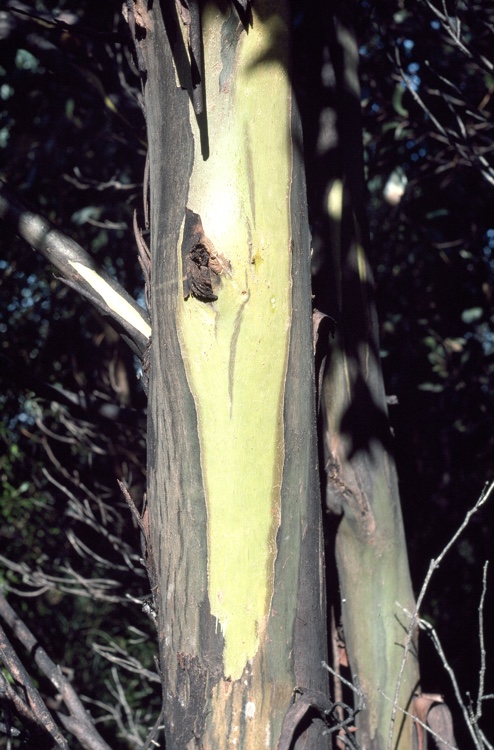 Johnston's gumJohnston's gum · 1.5 mi
 Kilmichael HillMountain / peak · 2.3 mi
 CastleCastle, motte · 2.6 mi
 Market HouseHeritage attraction · 2.9 mi
 1798 MonumentMemorial · 2.9 mi
 Kia Ora Mini FarmHeritage attraction · 4.0 mi