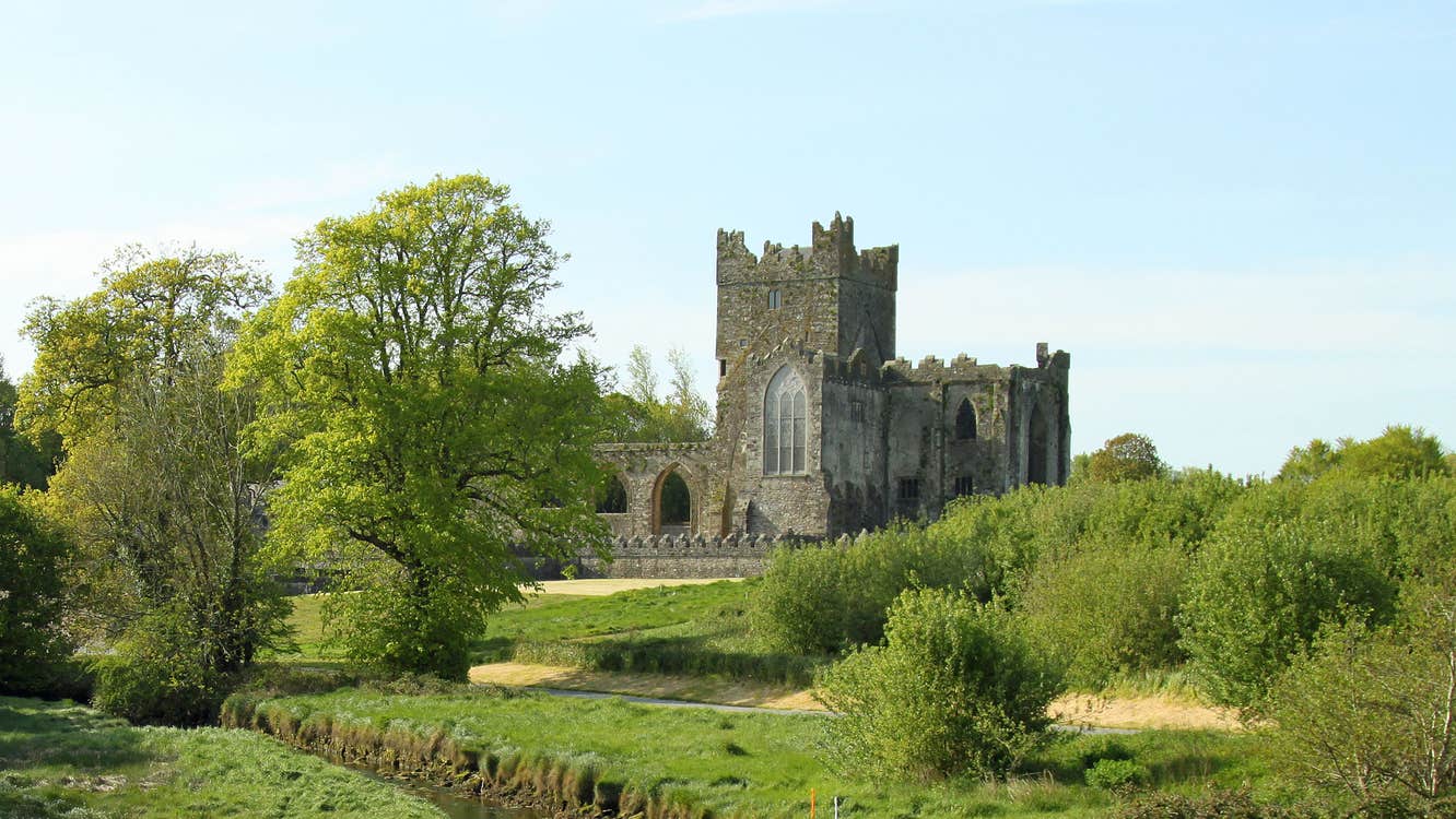
What is recorded here
Marked faintly as subcircular area (diam. c. 45m) described as a fairy rath only on the 1940 ed. of the OS 6-inch map. It is depicted with a fragment of surviving bank at SE within a small rectangular field. It is situated towards the bottom of an E-facing slope in the valley of the N-S River Bann with the stream c. 170m to the E. It was not visible at ground level but the field (dims. c. 50m NW–SE; c. 60m NE–SW) is raised above the surrounding area at N and E (H 1–2m). A tale was recorded in 1940 relating that when the rath was first ploughed in the late 19th century the farmhouse was plagued for six months with showers of stones that did no damage. The stone-throwing stopped after a visit from a poor woman who drank water in the kitchen (OSFM).
The above description is derived from the published 'Archaeological Inventory of County Wexford' (Dublin: Stationery Office, 1996). In certain instances the entries have been revised and updated in the light of recent research.
Compiled by: Michael Moore
Date of upload/revision: 1 March 2012
Amended: 14 May, 2014
A local fairy fort (ringfort/rath); wider significance not recorded.
The monument record does not grant public access. Check the route and ask the landowner before entering private land.
- What survives
- Recorded monument
Places near here
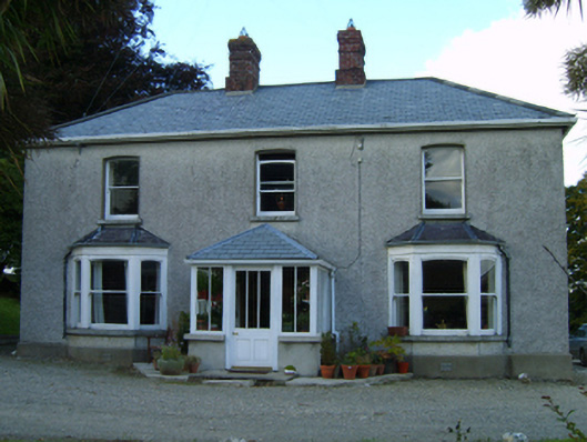 Great Grovefarm house · 46 yd
 Ballingarry WoodForest · 799 yd
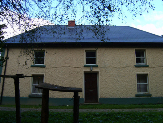 farm housefarm house · 1090 yd
 Fulacht FianFulacht fia · 1362 yd
 IndicatedFairy fort / earthen ringfort · 1567 yd
 Laraheen HillMountain / peak · 1.2 mi
 Mountnebo WoodForest · 1.4 mi
 Kilmichael HillMountain / peak · 1.7 mi
 1798 MonumentMemorial · 2.9 mi
 Market HouseHeritage attraction · 2.9 mi
 CastleCastle, motte · 3.1 mi
 Saint Brigid's WellSpring · 4.8 mi
Other information
Photo: Credit not shown in the picture search · Rights wording not checked; contact us if this picture should be removed