
Places near here
Photo credits
- National Inventory of Architectural Heritage
- Mike Searle, Wikimedia Commons · CC BY-SA 2.0
- Jamie Carroll, Geograph · CC BY-SA 2.0
- Golfing in Ireland; photographer not stated, Source publisher
 Morpeth BridgeBridge · 1043 yd
Explorer Tom Morpeth Bridge in Attybrick would tell its younger self to stop getting demolished and just learn how to use girder…
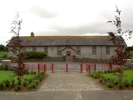 Curraghpoor SchoolSchool · 1065 yd
Explorer Tom Curraghpoor School in Gorteen is having a massive drama with the nearest tree, accusing it of stealing all its…
 Saint Bridget's Catholic ChurchChurch/chapel · 1346 yd
Explorer Tom Saint Bridget's Catholic Church in Drishane is always the first one at the party, standing tall at the crossroads with…
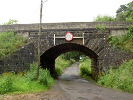 Ballyrobin BridgeBridge · 1.6 mi
Explorer Tom Ballyrobin Bridge in Ballyrobin is strutting about like a rock god after surviving the War of Independence with a few…
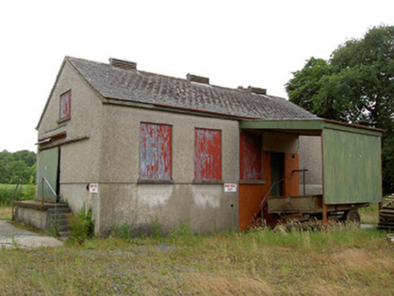 Grantstown CreameryCreamery · 2.0 mi
Explorer Tom Grantstown Creamery is standing there all stoic, reminding everyone that dairy farming used to be a whole industry…
 Grantstown CastleCastle · 2.0 mi
Explorer Tom Grantstown Castle in Tipperary is still bragging about surviving that one massive storm from back in the day, though it…
 Grantstown Castle (in ruins)Castle, tower house · 2.0 mi
Explorer Tom Grantstown Castle has a family tree that is mostly made up of ghosts and rumors. It used to have a quarry nearby that…
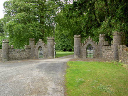 Grantstown HallGates/railings/walls · 2.1 mi
Explorer Tom Grantstown Hall is asking everyone why they are staring at its fancy ironwork instead of doing something useful with…
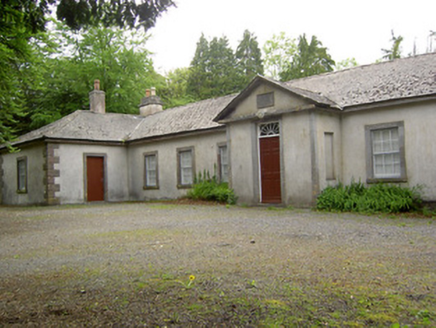 Dundrum CourthouseSchool · 2.1 mi
Explorer Tom Dundrum Courthouse is actually a school now, which means it’s had to grow up and learn some manners after its time as a…
 Dundrum Garda Síochána StationGarda station/constabulary barracks · 2.2 mi
Explorer Tom The Dundrum Garda Station was built by the Maude family and looks like a Tudor castle that got lost on the way to a…
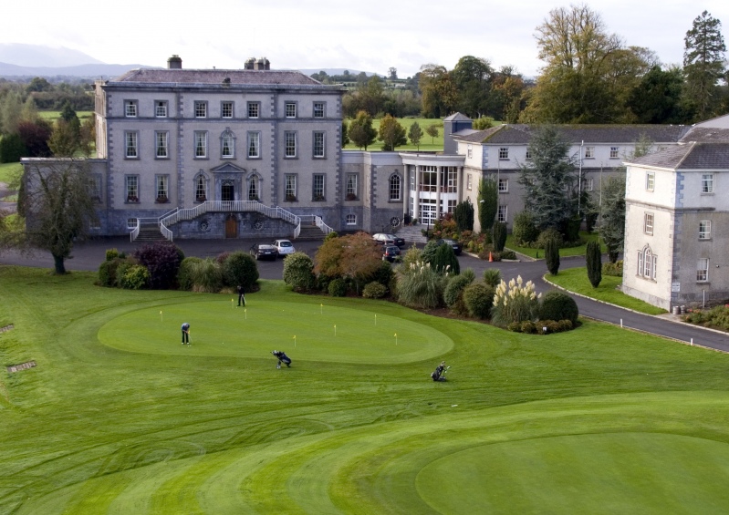 Co. Tipperary Golf ClubGolf course · 2.4 mi
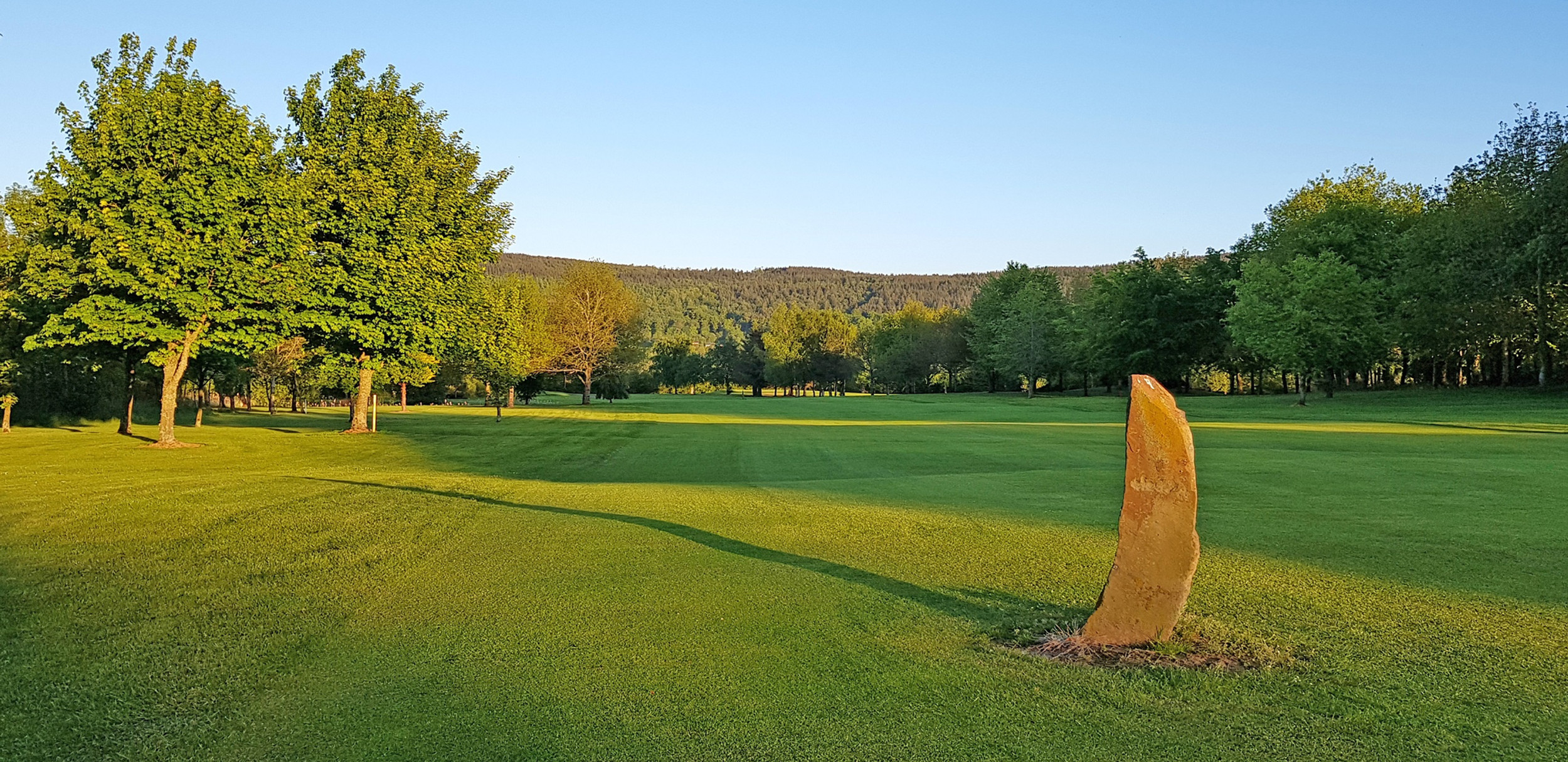 Tipperary Golf ClubGolf course · 6.1 mi
More archaeology and monuments in County Tipperary · All of County Tipperary

What do you know about this place?Tap to add a comment or ask a question