
What is recorded here
Detached Tudor Revival style multiple-bay two-storey former constabulary barracks on irregular plan, built c.1865, having two asymmetrical gable-fronted projections and octagonal entrance tower to front façade, three asymmetrical gable-fronted projections to rear. Now disused. Pitched slate roofs and cast-iron rainwater goods having roughly-dressed sandstone chimneystacks with cut limestone quoins and having decoratively-carved timber bargeboard to larger projecting gable. Sprocketed octagonal pyramid slate roof to tower with carved console brackets to eaves. Snecked sandstone walls with cut limestone quoins and plinth, having decorative blank plaque to larger projecting gable. Square-headed window openings with chamfered cut limestone block-and-start surrounds and fixed six-pane timber casement windows, variously appearing singly, in pairs and in triplets. Square-headed chamfered loops with cut limestone block-and-start surrounds and fixed timber framed one-over-one pane windows to tower and rear projections. Loop over rear door has blind lozenge shot hole. Segmental-headed door opening to entrance tower and flat-headed to rear projection, with chamfered cut limestone surrounds, having half-glazed timber panelled door to front and timber panelled door to rear. Outbuildings with hipped slate roof and snecked limestone walls, and pump, to rear. Snecked limestone walls and piers to rear yard. Gravel and landscaped areas with coursed rubble sandstone walls, having some concrete block replacement, to site.
This attractive building is a legacy of the Maude family, principal landowners in the area, who oversaw its construction in the mid-nineteenth century. This building, with fine detailing such as decorative timber bargeboards and elegant hexagonal tower, retains its original character and is a good example of the Tudor Revival style popular at the time.
This does not grant access. Most recorded buildings are privately owned; view them only from public ground unless the owner allows entry.
Places near here
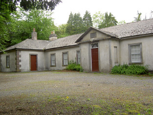 Dundrum Courthouseschool · 149 yd
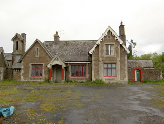 Dundrum Railway Stationrailway station · 398 yd
 Dundrum Woods (Marl Bog)Forest · 1056 yd
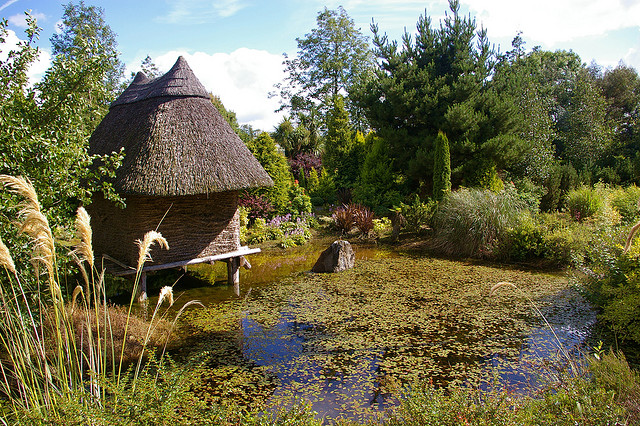 Enclosure in DundrumEnclosure · 1178 yd
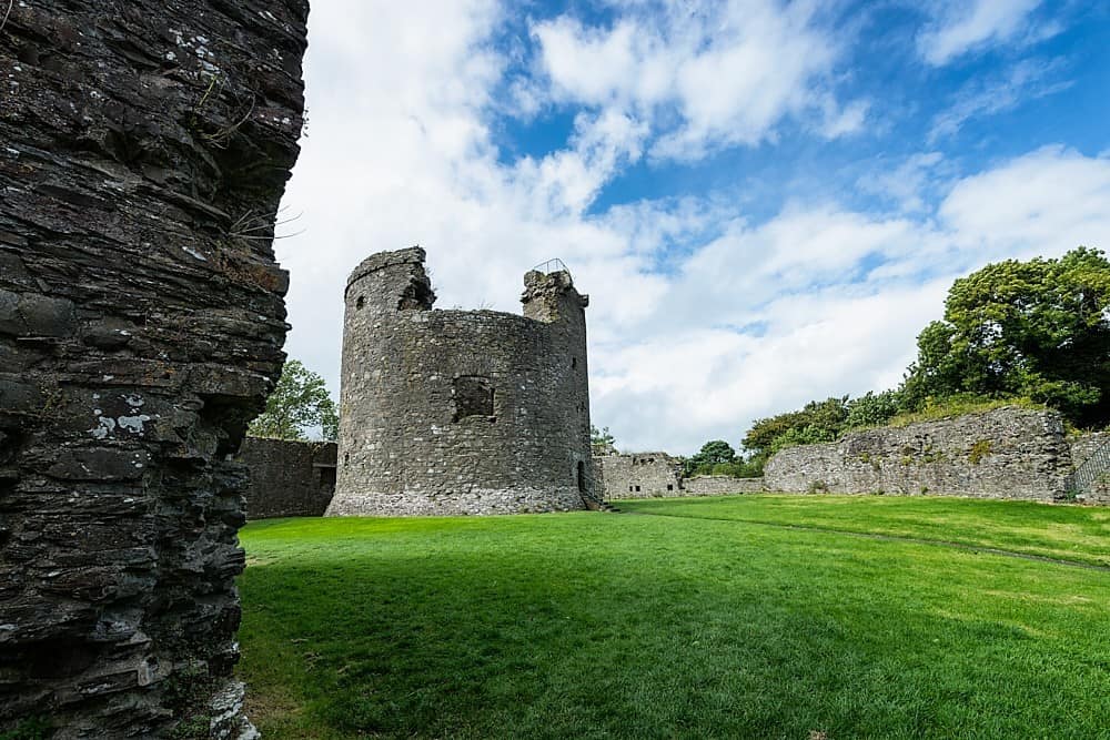 Site of CastleCastle, unclassified · 1559 yd
 Enclosure in Dundrum,gortussa (ballintemple Par.)Enclosure · 1566 yd
 Woodcock GroveWood · 1.1 mi
 Ballysheeda Castle (in Ruins)Castle, tower house · 2.8 mi
 Soloheadbeg Ambushambush · 5.3 mi
 Soloheadbeg Ambush SiteMemorial · 5.8 mi
 GortnageraghMountain / peak · 8.0 mi
 Oola HillMountain / peak · 8.7 mi
Other information
Photo: National Inventory of Architectural Heritage · Website use allowed for educational or private purposes with source credit