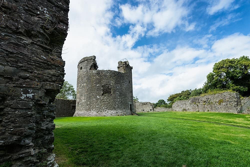
What is recorded here
On wet grassland on NW-facing slope of rising ground with good views to W and N higher ground to S. No surface remains visible of an O'Dwyer castle and bawn (TS052-044002-) described in the Civil Survey (1654-6) as 'on the lands afforesayd a Castle and a large Bawne in Dondroma wantinge repaire' (Simington 1934 vol. 2, 87-8). O'Dwyer's well (TS052-044003-) 60m to NW. In 1892 no traces of the castle were visible in the field indicated on the latest ed. OS 6-inch map (White 1892, 61-2). This castle was the residence the O'Dwyers who were the Lords of Kilnamanagh (ibid.)
Compiled by: Jean Farrelly
Date of upload: 26 August 2011
The castle at Dundrum was held by the O'Dwyer family in the 17th century. It is remembered from historical surveys such as the Civil Survey of 1654–56, which noted its strategic location and associated bawn, though no visible remains survive today.
The monument record does not grant public access. Check the route and ask the landowner before entering private land.
- What survives
- Recorded monument
Places near here
 Wooden Br.Bridge · 471 yd
 Woodcock GroveWood · 487 yd
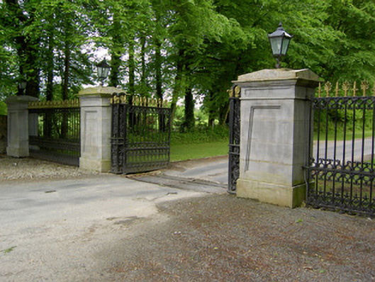 Dundrum Housegates/railings/walls · 494 yd
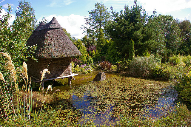 Enclosure in DundrumEnclosure · 857 yd
 Wych ElmWych Elm · 1119 yd
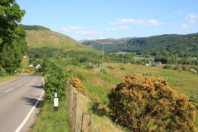 IndicatedEnclosure · 1723 yd
 Ballagh CastleCastle · 2.4 mi
 Castle (in ruins)Castle, tower house · 2.5 mi
 Clonoulty HillMountain / peak · 4.6 mi
 GortnageraghMountain / peak · 8.9 mi
 creamerycreamery · 730 yd
 Able Manorcountry house · 866 yd
Other information
Photo: Credit not shown in the picture search · Rights wording not checked; contact us if this picture should be removed