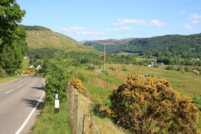
What is recorded here
On slight rise in gently undulating terrain, under pasture. Ground has been levelled recently and grass is beginning to grow. The enclosure is not visible at ground level. A slight rise may indicate the former presence of a monument. It is depicted on 1st (1840-41) ed. OS 6-inch map as a triangular-shaped earthwork, possibly the remaining SW angle, with a length of the S and W side of a rectangular enclosure, which was truncated to the E side by a road running N-S. On the 2nd (1903-04) ed. OS 6-inch map only the W length of the earthwork is indicated, incorporated in a field boundary. Archaeological excavation within the possible enclosure in 2000, prior to the construction of houses, revealed no features or deposits of significance (Hodkinson 2002, 322).
Compiled by: Jean Farrelly
Date of upload: 26 August 2011
A local fairy fort (ringfort/rath); wider significance not recorded.
The monument record does not grant public access. Check the route and ask the landowner before entering private land.
- What survives
- Recorded monument
Places near here
 Enclosure in Kilmore UpperEnclosure · 270 yd
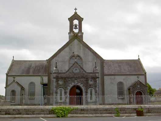 Catholic Church of the Assumptionchurch/chapel · 683 yd
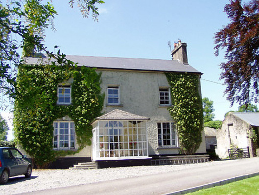 Ballywalter Househouse · 1008 yd
 European ashEuropean ash · 1137 yd
 Enclosure in DundrumEnclosure · 1266 yd
 Woodcock GroveWood · 1624 yd
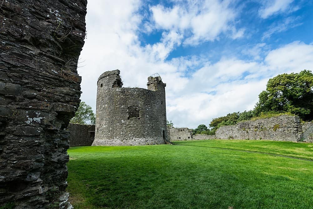 Site of CastleCastle, unclassified · 1724 yd
 Castle (in ruins)Castle, tower house · 1.6 mi
 Athassel PrioryHeritage attraction · 4.6 mi
 The Maid of ErinMemorial · 7.8 mi
 The RockViewpoint · 9.3 mi
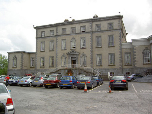 Dundrum Housecountry house · 1217 yd
Other information
Photo: Credit not shown in the picture search · Rights wording not checked; contact us if this picture should be removed