
What is recorded here
In wet low-lying marshy terrain in undulating countryside with limited views in all directions. Monument could not be located within area of dense forest and scrub. It is depicted as a small circular enclosure (dims. c. 28m N-S) defined by scarp from NW-S in 19th-century forestry on the 1903 ed. OS 6-inch map.
Compiled by: Jean Farrelly
Date of revised upload: 15 June 2015
The monument record does not grant public access. Check the route and ask the landowner before entering private land.
- What survives
- Recorded monument
Places near here
 Maudemount BogWood · 652 yd
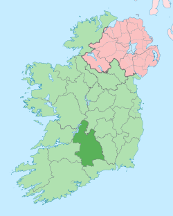 IndicatedEnclosure · 709 yd
 Dundrum Woods (Marl Bog)Forest · 774 yd
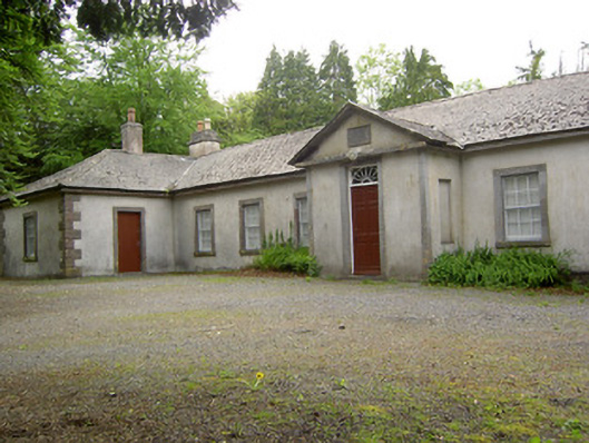 Dundrum Courthouseschool · 1492 yd
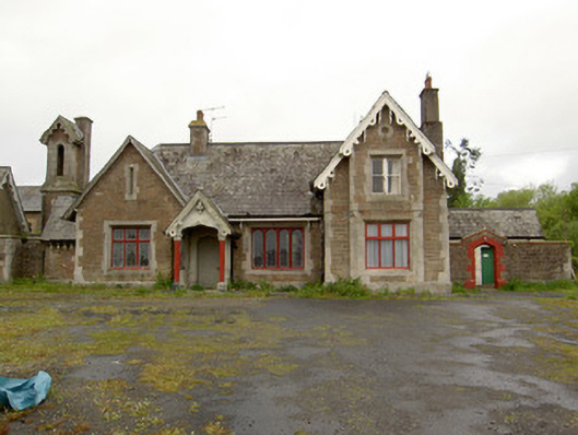 Dundrum Railway Stationrailway station · 1512 yd
 Site of Kilpatrick ChurchChurch · 1.2 mi
 Site of CastleCastle, unclassified · 1.9 mi
 Ballysheeda Castle (in Ruins)Castle, tower house · 2.1 mi
 Soloheadbeg Ambushambush · 4.5 mi
 Soloheadbeg Ambush SiteMemorial · 5.0 mi
 Clonoulty HillMountain / peak · 5.7 mi
 GortnageraghMountain / peak · 7.4 mi
Other information
Photo: Credit not shown in the picture search · Rights wording not checked; contact us if this picture should be removed