What is recorded here
In very rough bogland at a break in slope on a S-facing slope. Tully Mountain is visible to the NE and Maumfin is to the SW. This standing stone consists of an irregular piece of white veined quartz (max. H 1.1m; max. Wth 1.1m) aligned NE-SW. The SW face, which is visible from the roadway to the SW, is roughly triangular in shape and varies in height from 1.1m at the SE end to 0.4m at the NW end. The NW side of the boulder is obscured with heather. Another standing stone (GA022-125----) lies c. 600m to the site.
The monument was brought to the attention of the Archaeological Survey of Ireland by Helen Riekstiņš.
Compiled by: Olive Alcock
Date of revised upload: 5 May 2017
Likely dating to the Neolithic or Bronze Age, this standing stone may have functioned as a boundary marker, ritual focus, or astronomical alignment point. No specific folklore is recorded, but its positioning suggests a connection to broader prehistoric landscape use.
The monument record does not grant public access. Check the route and ask the landowner before entering private land.
- What survives
- Recorded monument
Places near here
 DerrylahanMountain / peak · 852 yd
 Mass-rock in Letter MoreMass-rock · 1516 yd
 Structure in ArdkyleStructure · 1608 yd
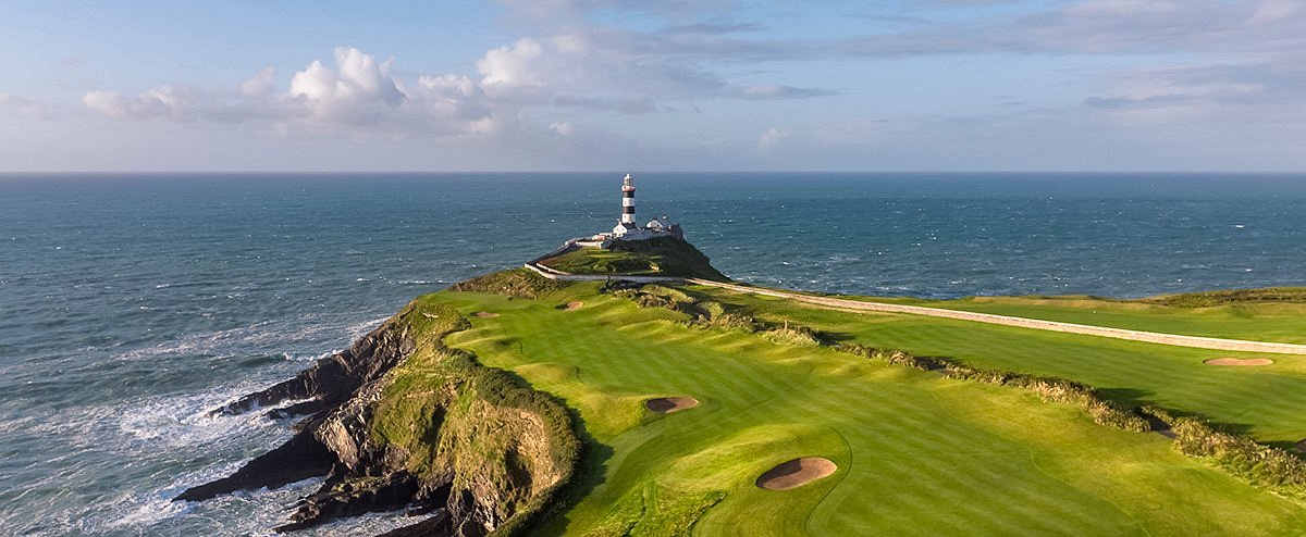 Freaghillaun SouthMountain / peak · 1683 yd
 Ballynakill ChurchChurch · 1744 yd
 R.C. ChapelChapel · 1.0 mi
 GlassillaunIslet · 1.2 mi
 RoeillaunIslet · 1.4 mi
 Rinvyle Castle (in ruins)Castle, tower house · 2.7 mi
 Renvyle CastleCastle · 2.7 mi
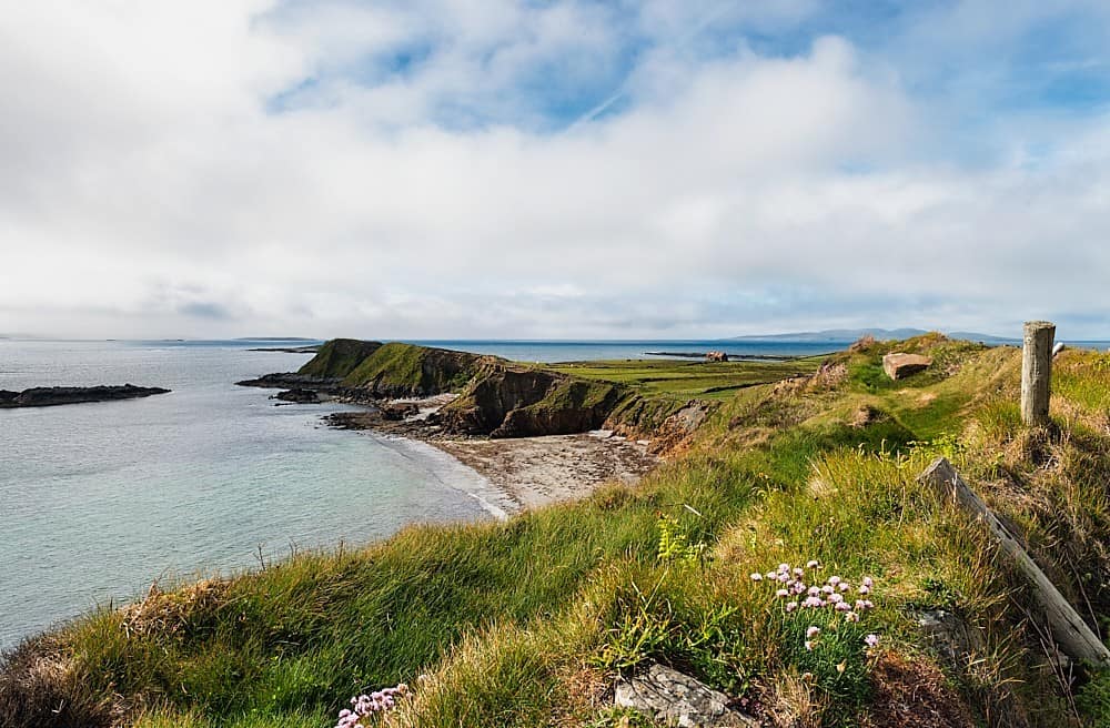 Rinvyle PointHeadland · 3.0 mi
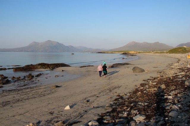 Renvyle BeachBeach / strand · 3.2 mi