What is recorded here
An Sliabh Riabhach holds a three-metre stone on the southern slopes of the Derrynasaggart mountains, leaning slightly within a neat northeast-southwest line beside a conifer plantation. Packing stones at its base suggest deliberate placement rather than natural collapse, while the hillside pasture gives the marker an ordinary, lived-in presence. The contrast between the rigid geometric alignment and the wild Atlantic landscape creates a quietly striking image.
On hillside pasture on southern slopes of Derrynasaggart mountains, adjacent to a conifer plantation. The stone, (H 3m; Wth 2m, D 0.4m), is on an alignment of NE-SW with packing stones at base.
Compiled by: Matt Kelleher based on information supplied by Howard Grice
Date of upload/revision: 15 March 2022
The monument record does not grant public access. Check the route and ask the landowner before entering private land.
- What survives
- Recorded monument
Places near here
 IndicatedFairy fort / stone ringfort · 656 yd
 KnockacommeenMountain / peak · 1.4 mi
 Wedge tomb in Doire Na SagartWedge tomb · 1.6 mi
 Cascade WoodWood · 1.9 mi
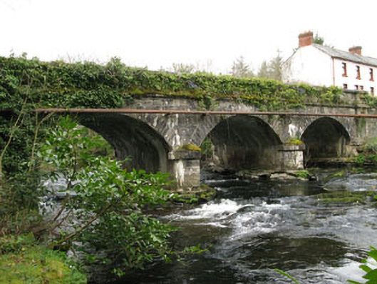 bridgebridge · 2.0 mi
 Castle (Site of)Castle, unclassified · 2.1 mi
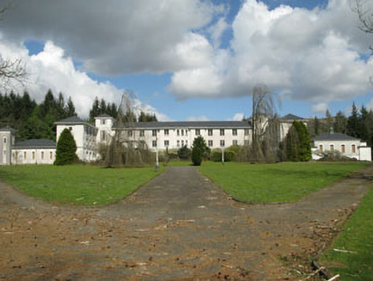 Coláiste Íosagáinschool · 2.1 mi
 MullaghanishMountain / peak · 2.3 mi
 Kealaboane WoodWood · 2.9 mi
 CastleCastle, unclassified · 3.5 mi
 European long distance path E8 - part IrelandWalking route · 4.1 mi
 Sli Gaeltacht MuscraiWalking route · 4.7 mi