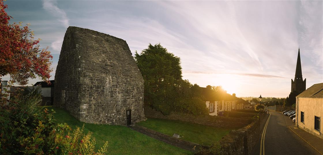
What is recorded here
Located at the bottom of a N-facing slope and c. 300m ESE of Killary church (ME012-020----). This is annotated as ‘St Toole’s Well’ in gothic lettering on the 1836 and 1908 editions of the OS 6-inch map, and according to John O’Donovan in 1836 (Herity 2001, 46) it might have been more properly called ‘Tober Séacog (Séucog). Nothing else is known about it except that from the aerial imagery it would appear to be no longer extant. Another named well (ME012-047----) is c. 80m to the SSE.
Compiled by: Michael Moore
Date of upload: 3 August 2022
St Toole’s Well is associated with a local Christian saint, St Toole, whose cult was once observed in parts of Ireland, particularly in the west. The well was likely used for holy water and seasonal rituals, and may have been a site of pilgrimage for cures, particularly of eye ailments, a common association with saintly wells.
The monument record does not grant public access. Check the route and ask the landowner before entering private land.
- What survives
- Recorded monument
Places near here
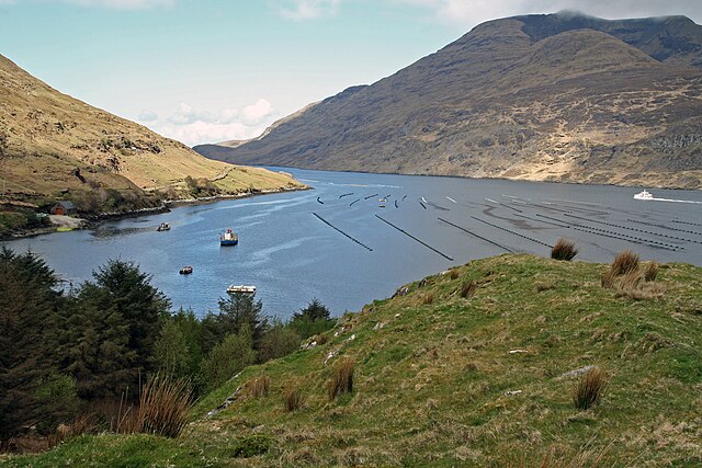 TobernagappleHoly well · 86 yd
 Enclosure in KillaryEnclosure · 364 yd
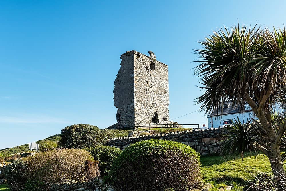 CastleCastle, unclassified · 1291 yd
 Stokestown CastleCastle, unclassified · 1.1 mi
 milestone/milepostmilestone/milepost · 1.2 mi
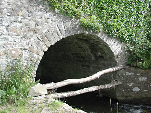 bridgebridge · 1.3 mi
 Gun HillMountain / peak · 1.7 mi
 European YewEuropean Yew · 1.9 mi
 Fox CovertForest · 2.6 mi
 Simpson's MountainMountain / peak · 2.7 mi
 Nobber GreenwayMemorial · 4.3 mi
 Sir Frederick Foster MemorialMemorial · 6.9 mi
Other information
Photo: Credit not shown in the picture search · Rights wording not checked; contact us if this picture should be removed