What is recorded here
Marked only on the 1924 ed. of the OS 6-inch map where it is described in gothic lettering as St. Thomas’s Well. It is mentioned by John O’Donovan writing c. 1840 (O’Flanagan 1933, vol. 2, 220). The well is located in a hollow in a low-lying landscape. It is a natural spring with no evidence of veneration.
From the National Monuments Service (Archaeological Survey of Ireland) record WX027-018
The monument record does not grant public access. Check the route and ask the landowner before entering private land.
- What survives
- Recorded monument
Places near here
Photo credits
- National Inventory of Architectural Heritage
- Andrewmc, Wikimedia Commons · CC BY-SA 3.0
- sarah777, Wikimedia Commons · CC BY-SA 2.0
- Bruce Marlin, Wikimedia Commons · CC BY-SA 2.5
- Hywel Williams, Wikimedia Commons · CC BY-SA 2.0
- Michael Dibb, Geograph · CC BY-SA 2.0
IndicatedFairy fort / ringfort · 665 ydBallingowan MoteCastle, motte · 1116 yd water pump1.0 mifarm house1.4 miTinnaberna BeachBeach / strand · 2.5 mi1798 MonumentMemorial · 2.6 miHachured moundCastle, motte · 2.7 mi1798 MemorialMonument · 3.1 miFontainebleau service tree3.6 miFontainebleau service tree3.6 miTulach a' tSolaisMonument · 3.8 miMorriscastle BeachBeach / strand · 4.5 mi
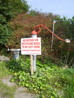 water pump1.0 mi
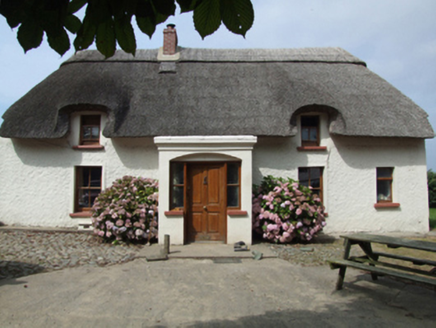 farm house1.4 miTinnaberna BeachBeach / strand · 2.5 mi
.jpg/250px-1798_Monument_(1).jpg "Photo: Andrewmc, Wikimedia Commons · CC BY-SA 3.0") 1798 MonumentMemorial · 2.6 miHachured moundCastle, motte · 2.7 mi
1798 MonumentMemorial · 2.6 miHachured moundCastle, motte · 2.7 mi 1798 MemorialMonument · 3.1 mi
 Fontainebleau service tree3.6 miFontainebleau service tree3.6 mi
 Tulach a' tSolaisMonument · 3.8 mi
 Morriscastle BeachBeach / strand · 4.5 mi
More archaeology and monuments in County Wexford · All of County Wexford
What do you know about this place?