What is recorded here
On flat ground at the bottom of a N-facing bluff (H c. 6m) and c. 50m from the SW bank of the NW-SE Boyle River where Ath Carpait, the ford of the chariot, may have been (FitzPatrick 1998, 354). A subcircular well (dims 1.4m NE-SW; c. 1m NW-SE) is covered by a D-shaped, masonry structure (ext. dims 2m NE-SW; 1.72m NW-SE) with a cement roof (max. H 1.05m) which is surmounted by a modern Latin cross. The well has a rectangular opening (Wth 0.65m; H 0.45m) to the NE, but there is no evidence of veneration. An oval piece of limestone (RO006-066002-) (dims 0.75m x 0.35m; H 0.3-0.4m) with two natural depressions on its upper surface is set in the ground 3.2m NE of the well and is regarded as having the knee-impressions of St Patrick. A stream runs off to the NE from the saint's stone.
Compiled by: Michael Moore
Date of upload: 24 August 2010
Linked to St Patrick, the well is associated with early Christian pilgrimage and is named after the saint who is traditionally believed to have driven the snakes from Ireland. The nearby ford, Ath Carpait, suggests a possible historical or ritual crossing point connected to the site.
The monument record does not grant public access. Check the route and ask the landowner before entering private land.
- What survives
- Recorded monument
Places near here
 Ritual siteRitual site, holy/saint's stone · 1 yd
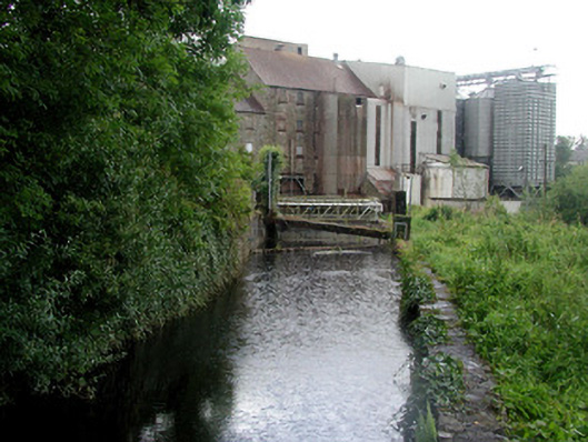 mill racemill race · 120 yd
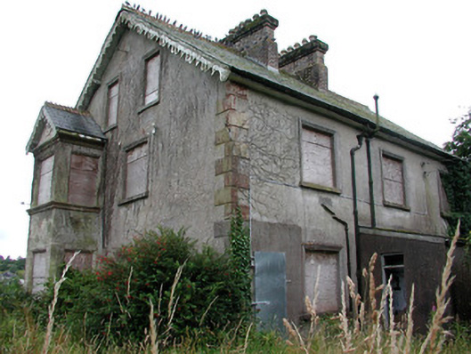 Millmontmiller's house · 136 yd
 IndicatedFairy fort / earthen ringfort · 188 yd
 King William MemorialMonument · 716 yd
 Boyle AbbeyHeritage attraction · 986 yd
 Battle of Curlew PassMajor battlefield · 1.9 mi
 Battle of the Curlew Mountains (1599)Battlefield · 1.9 mi
 Bingham IslandIslet · 2.2 mi
 Erris BayBay · 2.2 mi
 Trinity IslandIslet · 2.6 mi
 Lough Key Forest ParkWood · 2.7 mi