What is recorded here
On flat ground overlooking the S bank of the W-E Boyle River, which is c. 180m distant at its closest point, and within Boyle town. Subcircular platform (dims 29m N-S; 27m E-W), which spans three back-gardens, defined by a scarp (H 1m at N to 1.9m at W), but much of the central part was removed in 1974 (SMR file) and only the perimeter E-W, and an arc of the perimter at N remains.
Compiled by: Michael Moore
Date of upload: 24 August 2010
The monument record does not grant public access. Check the route and ask the landowner before entering private land.
- What survives
- Recorded monument
Places near here
 Ritual siteRitual site, holy/saint's stone · 188 yd
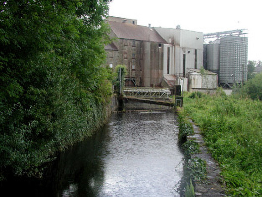 mill racemill race · 308 yd
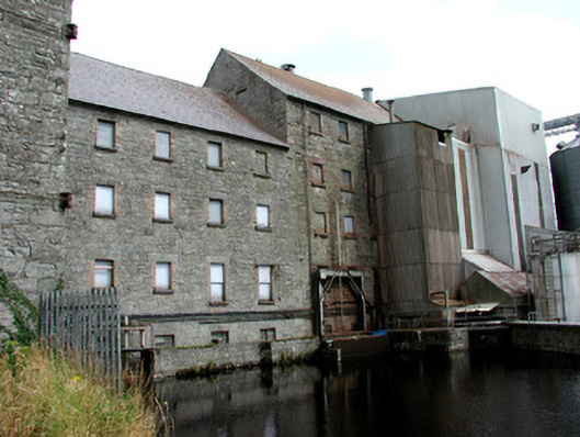 Boyle Millsmill (water) · 318 yd
 King William MemorialMonument · 823 yd
 Brothers SculptureMonument · 1047 yd
 Boyle AbbeyHeritage attraction · 1098 yd
 Battle of Curlew PassMajor battlefield · 2.0 mi
 Battle of the Curlew Mountains (1599)Battlefield · 2.0 mi
 Bingham IslandIslet · 2.3 mi
 Erris BayBay · 2.3 mi
 Trinity IslandIslet · 2.6 mi
 Lough Key Forest ParkWood · 2.8 mi
Other information
Photo: Credit not shown in the picture search · Rights wording not checked; contact us if this picture should be removed