What is recorded here
In reclaimed pastureland. Named ‘St Patrick’s Well’ on the 1838 and 1946 editions of the 6-inch OS maps. According to the OS Letters, this holy well was said to be ‘fast losing its sanctity’ by 1838(O’Flanagan 1927, Vol. 2, 49). On inspection in 1984, no visible surface trace of it survived. Its site was marked by a low subcircular mound (c. 8m E-W, 6m N-S, H 0.2m) of loose field-clearance stones. A bullaun stone (GA118-060001-) lies immediately to its E.
In reclaimed pastureland. Named ‘St Patrick’s Well’ on the 1838 and 1946 editions of the 6-inch OS maps. According to the OS Letters, this holy well was said to be ‘fast losing its sanctity’ by 1838(O’Flanagan 1927, Vol. 2, 49). On inspection in 1984, no visible surface trace of it survived. Its site was marked by a low subcircular mound (c. 8m E-W, 6m N-S, H 0.2m) of loose field-clearance stones. A bullaun stone…
From the National Monuments Service (Archaeological Survey of Ireland) record GA118-060002
The monument record does not grant public access. Check the route and ask the landowner before entering private land.
- What survives
- Recorded monument
Places near here
Photo credits
- National Inventory of Architectural Heritage
- Dfoxvog, Wikimedia Commons · CC BY-SA 4.0
- RedwoodCastleIreland, Wikimedia Commons · CC BY-SA 4.0
- Willow, Wikimedia Commons · CC BY 2.5
- Sitomon, Wikimedia Commons · CC BY-SA 2.0
- Kieran Campbell, Geograph · CC BY-SA 2.0
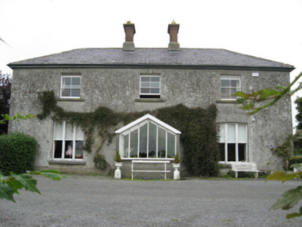 Longford HouseCountry house · 360 yd
 Ormond ViewHouse · 1083 ydEnclosure in TiranascraghEnclosure · 1467 ydEcclesiastical enclosure in StowlinEcclesiastical enclosure · 2.0 mi
 Derryhiveny CastleCastle · 2.1 miBallymacegan IslandIsland · 2.1 mi
 Redwood CastleCastle · 3.7 mi
 European ash4.3 mi
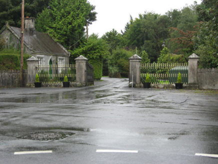 Portumna CastleGates/railings/walls · 4.9 mi
 European Yew4.9 mi
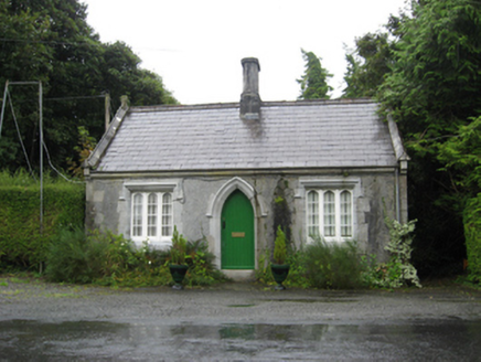 Portumna CastleGate lodge · 4.9 mi
 MeelickVisitor information · 5.0 mi
More archaeology and monuments in County Galway · All of County Galway
What do you know about this place?