What is recorded here
In gently undulating pastureland. This overgrown circular enclosure (diam. c. 10m) is defined by a narrow earthen bank (Wth 0.5-0.6m; int. H 0.6-0.8m; ext. H 1.6-1.8m) which is overgrown with trees and piled with field clearance material. A shallow dip at E and W indicates the line of a possible external fosse and a very slight rise from SSE to S an outer bank. The interior slopes toward the centre and is partially overgrown and stony.
In gently undulating pastureland. This overgrown circular enclosure (diam. c. 10m) is defined by a narrow earthen bank (Wth 0.5-0.6m; int. H 0.6-0.8m; ext. H 1.6-1.8m) which is overgrown with trees and piled with field clearance material. A shallow dip at E and W indicates the line of a possible external fosse and a very slight rise from SSE to S an outer bank. The interior slopes toward the centre and is…
From the National Monuments Service (Archaeological Survey of Ireland) record GA118-074
The monument record does not grant public access. Check the route and ask the landowner before entering private land.
- What survives
- Recorded monument
Places near here
Photo credits
- National Inventory of Architectural Heritage
- Dfoxvog, Wikimedia Commons · CC BY-SA 4.0
- RedwoodCastleIreland, Wikimedia Commons · CC BY-SA 4.0
- Kieran Campbell, Geograph · CC BY-SA 2.0
- Willow, Wikimedia Commons · CC BY 2.5
- Sitomon, Wikimedia Commons · CC BY-SA 2.0
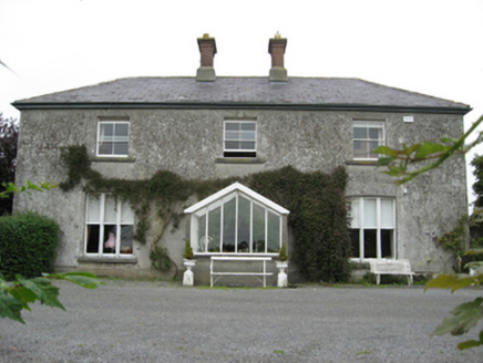 Longford HouseCountry house · 1212 ydSt. Patricks WellHoly well · 1468 yd
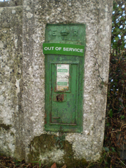 post box1.2 miBallymacegan IslandIsland · 1.3 miToberrosHoly well · 1.6 mi
 Derryhiveny CastleCastle · 2.2 mi
 Redwood CastleCastle · 2.9 mi
 MeelickVisitor information · 4.3 mi
 European ash4.4 mi
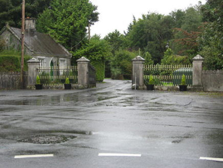 Portumna CastleGates/railings/walls · 5.0 mi
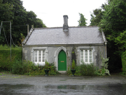 Portumna CastleGate lodge · 5.0 mi
 European Yew5.0 mi
More archaeology and monuments in County Galway · All of County Galway
What do you know about this place?