What is recorded here
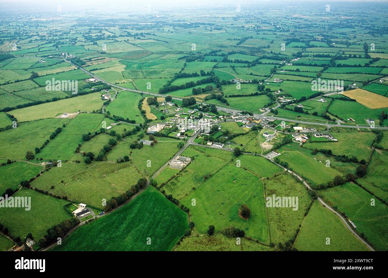
Some 100m N of a church (GA108-102----), on the N bank of a stream. Named ‘Toberros’ on the 1838 edition and 1945 revision of the OS 6-inch maps. According to the OS Letters (O’Flanagan 1927, Vol. 2, 46), some bushes were growing over this well ‘in which they used to dip delicate children’. On inspection, no visible surface trace of it survived. The stream had been deepened as part of a land-drainage scheme. Some of the material resulting from this work that was dumped along the banks of the stream may have obscured the well.
Compiled by: Galway Archaeological Survey, UCG
Date of upload: 28 March 2023
Linked to Saint Ros, the well is traditionally associated with cures for skin ailments and was once visited by pilgrims who performed rituals such as walking the circuit of the well or drinking from its waters. Local folklore suggests the saint was a hermit who lived in the area and was known for his healing powers.
The monument record does not grant public access. Check the route and ask the landowner before entering private land.
- What survives
- Recorded monument
Places near here
 Church in ruinsChurch · 116 yd
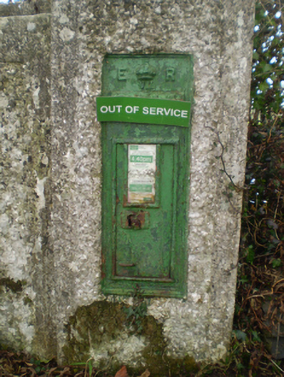 post boxpost box · 776 yd
 Enclosure in Derry (longford By.)Enclosure · 1730 yd
 KnockaunnabastyArchaeological place · 1.3 mi
 Longford Castle (in ruins)Castle, unclassified · 1.8 mi
 Ballymacegan IslandIsland · 2.0 mi
 Friars IslandIsland · 2.7 mi
 CastleCastle, unclassified · 2.9 mi
 MeelickVisitor information · 3.2 mi
 Redmond HillMountain / peak · 3.2 mi
 Silver FirSilver Fir · 3.9 mi
 Cregg WoodForest · 4.6 mi
Other information
Photo: Credit not shown in the picture search · Rights wording not checked; contact us if this picture should be removed