
What is recorded here
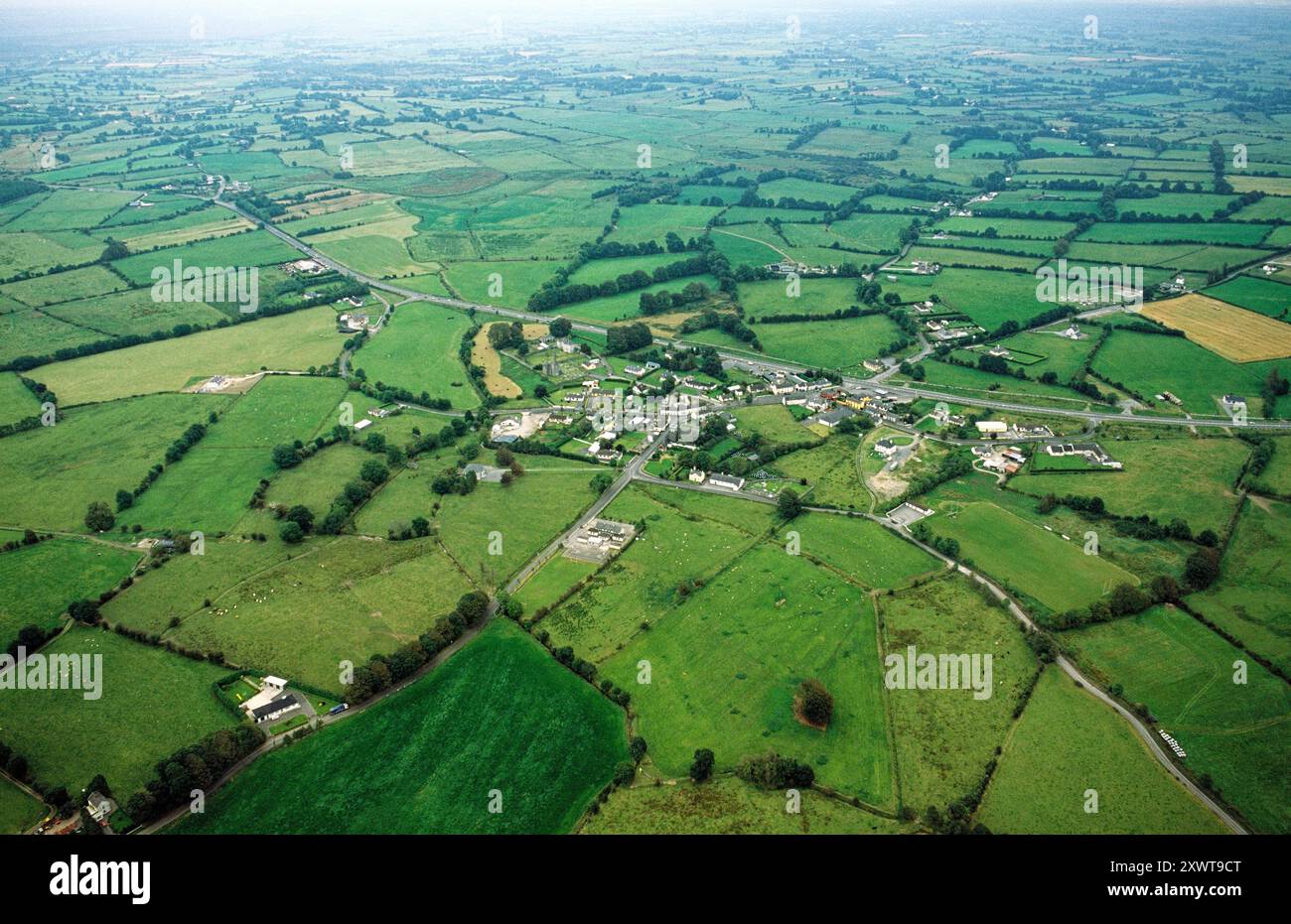
On the crest of a ridge in undulating pastureland. This poorly preserved roughly subtrianglular enclosure (55m N-S; 42m E-W) is defined by a bank of earth and stone. A fosse and traces of a possible outer bank survive from SSW to WNW. A gap (Wth 2.4m) at N may be original.
Compiled by: Galway Archaeological Survey, UCG
Date of upload: 4 March 2019
The monument record does not grant public access. Check the route and ask the landowner before entering private land.
- What survives
- Recorded monument
Places near here
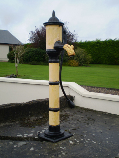 water pumpwater pump · 416 yd
 KnockaunnabastyArchaeological place · 613 yd
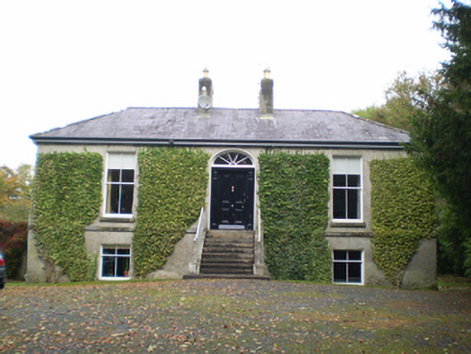 Derryormondehouse · 628 yd
 ToberrosHoly well · 1730 yd
 CastleCastle, unclassified · 2.0 mi
 Friars IslandIsland · 2.0 mi
 Lismore CastleCastle, tower house · 2.0 mi
 Killeen's IslandIsland · 2.2 mi
 MeelickVisitor information · 2.4 mi
 Redmond HillMountain / peak · 2.9 mi
 Cregg WoodForest · 3.8 mi
 Silver FirSilver Fir · 3.9 mi
Other information
Photo: Credit not shown in the picture search · Rights wording not checked; contact us if this picture should be removed