What is recorded here
In pasture, in a slight hollow enclosed at W and N by gently rising ground.
A natural spring well gathering in a small pool (max. dim. c. 2m; D 0.2m), with an outflow stream flowing to SE where it is channelled into a modern field drain. The head of the spring at the N edge of the pool is now enclosed by a concrete pipe. Curving around the N side of the spring is a low stony rise set in the top of which is a small stone cross (MA103-003003-). An ash tree stands at the W end of the rise, on the NW side of the spring.
Named ‘St. Patrick’s Well’ on the 1838 and 1916 OS 6-inch maps, a pattern or prayer cycle was traditionally held here each year on the first Sunday in August. ‘St. Patrick’s Church (Site of)’ (MA103-003001-) is indicated immediately to W of the well on the 1916 OS 6-inch map, but no remains are now visible. Another church (MA102-002001-), a graveyard (MA103-002002-) and a children’s burial ground (MA103-002003-) are located 300m to NW.
Compiled by: Jane O’Shaughnessy
Date of upload: 4 October 2022
Linked to St. Patrick, the well is traditionally associated with healing and purification. Local folklore suggests that the waters were once used to cure ailments and that the saint himself may have visited the site during his missionary journeys in Ireland.
The monument record does not grant public access. Check the route and ask the landowner before entering private land.
- What survives
- Recorded monument
Places near here
 Cross in Holywell LowerCross · 22 yd
 Font in ChurchparkFont · 337 yd
 Church in RuinsChurch · 365 yd
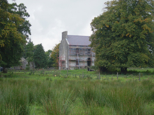 Holywell Housefarm house · 402 yd
 CastleCastle, unclassified · 3.1 mi
 Knock MuseumMuseum · 5.5 mi
 Knock ShrineHeritage attraction · 5.6 mi
 Ballybooley CastleCastle · 6.1 mi
 Oak WoodForest · 8.1 mi
 Geoffrey's WoodForest · 9.0 mi
 Mass RockNamed rock · 16 mi
 St. Patricks StoneRitual site, holy/saint's stone · 929 yd