
What is recorded here
From the National Monuments Service (Archaeological Survey of Ireland) record LE024-007
Places near here
Photo credits
- Maker not stated on source page, monumentalireland.ie
- Maker not stated on source page, irisharchaeology.org
- Maker not stated on source page, commons.wikimedia.org
- National Inventory of Architectural Heritage
- Maker not stated on source page, www.findagrave.com
- Kenneth Allen, Wikimedia Commons
- Maker not stated on source page, www.tripadvisor.com.au
- Maker not stated on source page, en.wikipedia.org
- Maker not stated on source page, www.irishmirror.ie
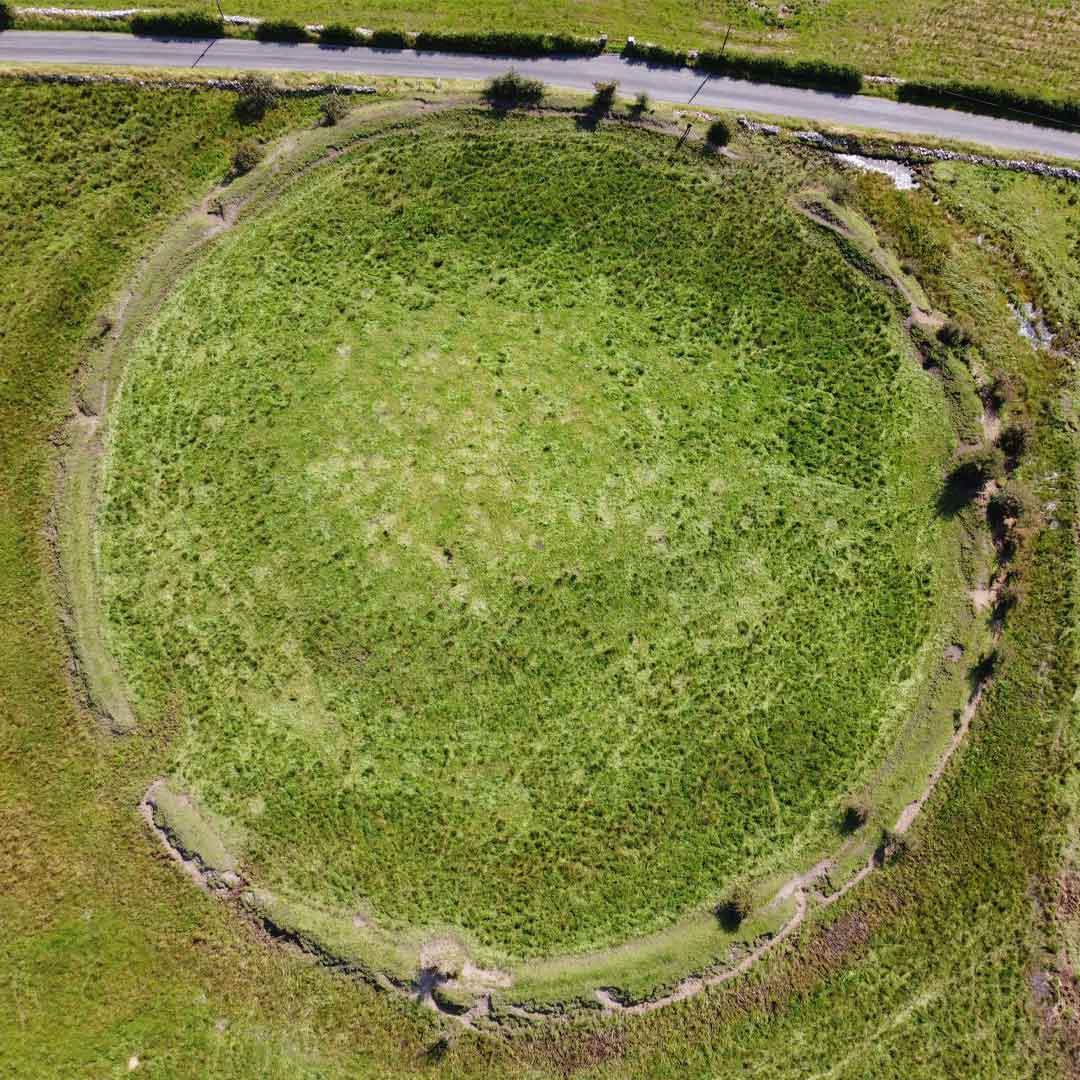 Fairy fort / earthen ringfort in BunrevaghFairy fort / earthen ringfort · 1565 yd
Explorer Tom Fairy fort / earthen ringfort in Bunrevagh nearly made the news back in ’99. A gravel road just bulldozed right through…
 Fairy fort / earthen ringfort in LisdromacroneFairy fort / earthen ringfort · 1.0 mi
Explorer Tom The local sheep at Lisdromacrone have decided this twenty-five-metre circle is their premium grazing spot, ignoring the…
 Kiltubrid Old GraveyardCemetery · 1.3 mi
Explorer Tom Kiltubrid Old Graveyard in County Leitrim is where Vikings allegedly got so lost they named every tree after their own…
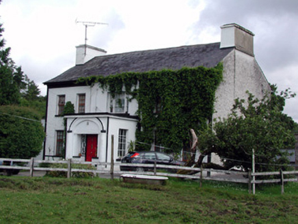 Annadale HouseCountry house · 1.4 mi
Explorer Tom Annadale House in Kiltubbrid has made a New Year's resolution to stop its walled garden from looking so smug about all…
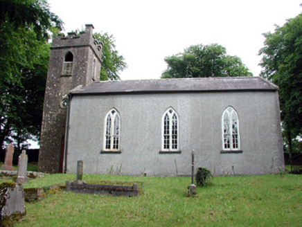 Saint Brigid's Church (Kiltubbrid)Church/chapel · 1.5 mi
Explorer Tom Saint Brigid's Church is secretly proud of one specific potato that grew under its window in 1847. It overlooks Lough…
 Mapped graveyardGraveyard · 1.5 mi
Explorer Tom Legend says this Mapped graveyard in County Leitrim started because two lads made a bet in the pub about where to bury…
 Páirc Cill TiobraidGAA ground · 1.6 mi
Explorer Tom Páirc Cill Tiobraid wears its club name proudly above the entrance, and the Leitrim ground has room for big local…
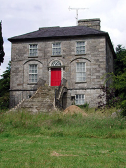 Aghacashel HouseCountry house · 1.8 mi
Explorer Tom Aghacashel House in Aghacashel is so austere and solid that it probably takes its own fox sightings very seriously as a…
 Drumcong New CemeteryCemetery · 1.8 mi
Explorer Tom Drumcong New Cemetery plans to retire by turning into a giant garden for bees, which sounds lovely until you consider…
 Court tomb in MullaghgarveCourt tomb · 1.9 mi
Explorer Tom Court tomb in Mullaghgarve is in a massive feud with the rain right now, and losing badly. Big limestone flags standing…
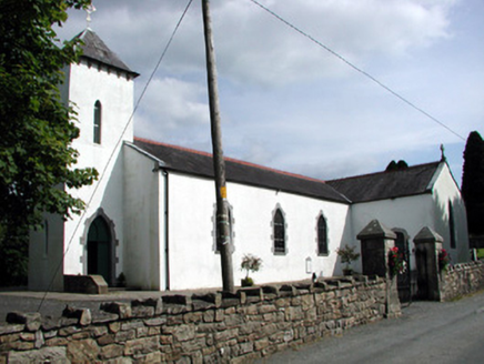 Saint Brigid's Catholic ChurchChurch/chapel · 1.9 mi
Explorer Tom Saint Brigid's Catholic Church in Roscarban has a pyramidal roof that defies all local church logic. A priest once lost…
 Prison IslandIslet · 2.1 mi
Explorer Tom Prison Island in County Leitrim has a secret talent for hiding lost wedding rings under its mossy stones. The inmates…
More archaeology and monuments in County Leitrim · All of County Leitrim

What do you know about this place?Tap to add a comment or ask a question