What is recorded here
Located on the W bank of a N-S stream at the base of the E-facing slope of a drumlin. St Patrick’s Well, which is named on the 1835 and 1907 editions of the OS 6-inch map, is now disused and overgrown with no visible structure. Rounds were performed there until c. 1900 and it had a rag tree in the 1930s (IFC: Schools’ Collection, vol. 0288, 73). A granite bullaun stone (034-00301-) (dims 0.8m x 0.7m; H 0.4m) with a single basin (dims 0.4m x 0.35m; D 0.12m) is c. 20m to the NW. Moore (Dublin: Stationery Office, 2003).
Located on the W bank of a N-S stream at the base of the E-facing slope of a drumlin. St Patrick’s Well, which is named on the 1835 and 1907 editions of the OS 6-inch map, is now disused and overgrown with no visible structure. Rounds were performed there until c. 1900 and it had a rag tree in the 1930s (IFC: Schools’ Collection, vol. 0288, 73). A granite bullaun stone (034-00301-) (dims 0.8m x 0.7m; H 0.4m) with…
From the National Monuments Service (Archaeological Survey of Ireland) record LE034-003001
The monument record does not grant public access. Check the route and ask the landowner before entering private land.
- What survives
- Recorded monument
Places near here
Photo credits
- National Inventory of Architectural Heritage
- Sitomon, Wikimedia Commons · CC BY-SA 2.0
- Algirdas at Lithuanian Wikipedia, Wikimedia Commons · Public domain
- Oliver Dixon, Geograph · Creative Commons Attribution-ShareAlike 2.0
- Oliver Dixon, Wikimedia Commons · CC BY-SA 2.0
- NTF30, Wikimedia Commons · CC BY-SA 4.0
- Sarah777 at English Wikipedia, Wikimedia Commons · Public domain
- SE Keenan, Wikimedia Commons · CC BY-SA 4.0
- Adam Simpson, Geograph · CC BY-SA 2.0
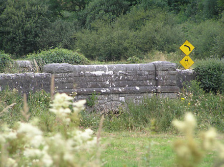 Drumury BridgeBridge · 1.3 mi
 European Yew1.3 mi
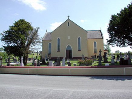 Saint Mary's Catholic ChurchChurch/chapel · 1.3 mi
 Pedunculate Oak3.7 mi
 IndicatedGraveyard · 5.7 mi
 Battle of BallinamuckMajor battlefield · 6.5 mi
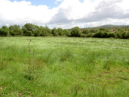 battlefield6.5 mi
 Court tomb in GartnanoulCourt tomb · 7.9 mi
 Killykeen Forest ParkForest · 8.3 mi
 Lough OughterLake and island landscape · 8.3 mi
 Lough Rynn HouseCastle · 8.6 mi
 Clogh Oughter CastleCastle, Anglo-Norman masonry castle · 9.5 mi
More archaeology and monuments in County Leitrim · All of County Leitrim
What do you know about this place?