What is recorded here
Marked only on the 1925 ed. of the OS 6-inch map where it is described in italic lettering as St. Margaret’s Well. It is built into the W side of a field bank on the SW side of a NW-SE road, with the seashore c. 180m to the SE. A circular stone-lined well (diam. 0.9-0.95m) is open (Wth 0.55m; H 1.18m) to the W and capped with a lintel (dims 1.05m x 0.95m). An overflow channel (Wth 0.45m) runs off to the SE where there is a pond c. 20m distant. There is no evidence of, or any record of, veneration. St. Margaret’s church (WX053-022001-) is c. 300m to the NNW. Compliled by: Michael Moore
Date of upload: 27 March, 2014
Marked only on the 1925 ed. of the OS 6-inch map where it is described in italic lettering as St. Margaret’s Well. It is built into the W side of a field bank on the SW side of a NW-SE road, with the seashore c. 180m to the SE. A circular stone-lined well (diam. 0.9-0.95m) is open (Wth 0.55m; H 1.18m) to the W and capped with a lintel (dims 1.05m x 0.95m). An overflow channel (Wth 0.45m) runs off to the SE where…
From the National Monuments Service (Archaeological Survey of Ireland) record WX053-077
The monument record does not grant public access. Check the route and ask the landowner before entering private land.
- What survives
- Recorded monument
Places near here
Photo credits
- National Inventory of Architectural Heritage
- User Ali-oops on en.wikipedia, Wikimedia Commons · GFDL
- Ojsyork, Wikimedia Commons · CC BY 4.0
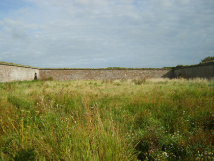 Saint Margaret's HouseFarmyard complex · 188 ydNot indicatedEnclosure · 441 yd
 Carne BeachBeach / strand · 596 ydShernock Hill/Knocks HillMountain / peak · 600 yd
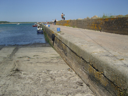 Carnsore PierPier/jetty · 784 yd
 Lifeboat MemorialMemorial · 809 ydEnclosure in BallareEnclosure · 1171 ydChurchtown Beach / The Sandy GripeBeach / strand · 1268 ydSite of CastleCastle, unclassified · 1341 ydCastleCastle, tower house · 1663 ydLady's IslandVisitor information · 1.3 miThe Fairy Stone/RockNamed rock · 1.3 mi
More archaeology and monuments in County Wexford · All of County Wexford
What do you know about this place?