What is recorded here
Situated on a fairly level landscape. The cropmark of a subrectangular enclosure (dims c. 90m N-S; c. 70m E-W) defined by a single fosse feature (Wth c. 3-4m) is visible on aerial photograph (CUCAP, AYK 8). It is not visible at ground level in pasture, and is not known locally. However, the enclosure is visible on digital aerial photographs (WX053-020_1 to _4) from 2006, where a wide entrance gap (Wth c. 10m) at E is discernible, and it is even visible on the OSI series of aerial photographs (2000).
Situated on a fairly level landscape. The cropmark of a subrectangular enclosure (dims c. 90m N-S; c. 70m E-W) defined by a single fosse feature (Wth c. 3-4m) is visible on aerial photograph (CUCAP, AYK 8). It is not visible at ground level in pasture, and is not known locally. However, the enclosure is visible on digital aerial photographs (WX053-020_1 to _4) from 2006, where a wide entrance gap (Wth c. 10m) at…
From the National Monuments Service (Archaeological Survey of Ireland) record WX053-020
The monument record does not grant public access. Check the route and ask the landowner before entering private land.
- What survives
- Recorded monument
Places near here
Photo credits
- National Inventory of Architectural Heritage
- User Ali-oops on en.wikipedia, Wikimedia Commons · GFDL
- Ojsyork, Wikimedia Commons · CC BY 4.0
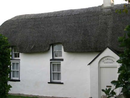 Saint Awaries CottageFarm house · 459 yd
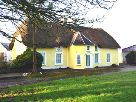 farm house565 ydLadys WellHoly well · 594 ydNot indicatedEnclosure · 800 ydTowerBawn · 1050 ydLady's IslandVisitor information · 1053 ydSite of CastleCastle, unclassified · 1139 ydScargeenIsland · 1411 ydShernock Hill/Knocks HillMountain / peak · 1417 yd
 Carne BeachBeach / strand · 1618 yd
 Lifeboat MemorialMemorial · 1.1 miInishIsland · 1.1 mi
More archaeology and monuments in County Wexford · All of County Wexford
What do you know about this place?