What is recorded here
Situated on a level landscape on the E shore of Lady’s Island Lough, with the lake’s edge c. 75m to the W. A well is marked on the 1839 and 1940 eds of the OS 6-inch map and described in gothic lettering on both as ‘Lady’s Well’. According to John O’Donovan writing c. 1840 it was dedicated to the Blessed Virgin and was part of the pilgrimage (O’Flanagan 1933, vol. 1, 299), and according to Mac Leighim (1920, 133-4), quoting an elderly resident, the pattern was held on the feast of the Assumption, August 15, and the pilgrimage route ended at the well. The well was described as being coffin-shaped, but it is now rectangular (dims 1.2m N-S; 1.1m E-W; D 0.1m) with a small shelf at the SW angle for offerings. A concrete wall (Wth 0.2m; H 1.2m) surrounds it on three sides, but the E side is open with a turn-style gate and there are two steps leading down to the water. Archaeological monitoring (03E1956) c. 100m to the NE failed to recover any related features (Purcell 2006, 2007).
Situated on a level landscape on the E shore of Lady’s Island Lough, with the lake’s edge c. 75m to the W. A well is marked on the 1839 and 1940 eds of the OS 6-inch map and described in gothic lettering on both as ‘Lady’s Well’. According to John O’Donovan writing c. 1840 it was dedicated to the Blessed Virgin and was part of the pilgrimage (O’Flanagan 1933, vol. 1, 299), and according to Mac Leighim (1920,…
From the National Monuments Service (Archaeological Survey of Ireland) record WX053-018
The monument record does not grant public access. Check the route and ask the landowner before entering private land.
- What survives
- Recorded monument
Places near here
Photo credits
- National Inventory of Architectural Heritage
- User Ali-oops on en.wikipedia, Wikimedia Commons · GFDL
- Ojsyork, Wikimedia Commons · CC BY 4.0
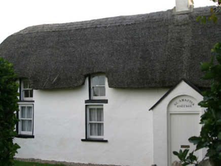 Saint Awaries CottageFarm house · 153 yd
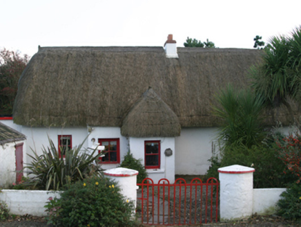 Ceann TuíFarm house · 333 ydIndicatedCauseway · 469 ydTowerBawn · 486 ydNot indicatedGatehouse · 517 ydLady's IslandVisitor information · 531 ydScargeenIsland · 823 ydSite of CastleCastle, unclassified · 1212 ydInishIsland · 1351 ydShernock Hill/Knocks HillMountain / peak · 1.1 mi
 Carne BeachBeach / strand · 1.2 mi
 Lifeboat MemorialMemorial · 1.3 mi
More archaeology and monuments in County Wexford · All of County Wexford
What do you know about this place?