
What is recorded here
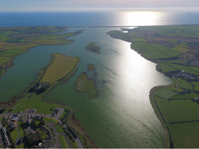
Lady’s Island was once a triangular island (max. dims c. 700m N-S; c. 220m E-W at S) with the apex at the N end in Lady’s Island Lough (dims c. 3.5km NNE-SSW; c. 500m-1.5km E-W), a lake that was called Lough Togher in the 17th century (Hore 1862, 62, 87). Salt water seeps through the bar separating the lake from the sea and the bar is sometimes breached, so the lake is a semi salt-water lagoon. The causeway connected the mainland with the island and was the only access for pilgrims and others. On the island side the tower house (WX053-014001-) and its attached gatehouse (WX053-014002-) control access to the church (WX053-013001-), but there must have been a gateway associated with the tower on the N side of the bawn (WX053-015----), that is at the S end of the causeway from the lake-shore c. 100m to the N. The nature of the causeway is not known, but it was probably a natural shingle spit. Today it is hidden beneath a grass sward (Wth c. 100m NE-SW), and the shore has extended out to meet the island. When the water-level in the lake is high the causeway can be seen as a raised bank (Wth c. 10m; H c. 0.5-1m) beneath a gravel roadway.
Compiled by: Michael Moore
Date of upload: 25 March, 2014
The monument record does not grant public access. Check the route and ask the landowner before entering private land.
- What survives
- Recorded monument
Places near here
 Lady's IslandVisitor information · 76 yd
 TowerBawn · 76 yd
 Not idicatedGatehouse · 140 yd
 Catholic Church of Our Lady of the Assumptionchurch/chapel · 165 yd
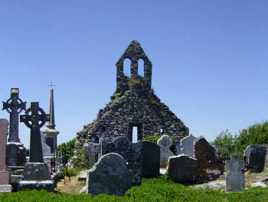 graveyard/cemeterygraveyard/cemetery · 215 yd
 IndicatedHoly well · 298 yd
 ScargeenIsland · 449 yd
 InishIsland · 1210 yd
 Site of CastleCastle, unclassified · 1626 yd
 Shernock Hill/Knocks HillMountain / peak · 1.4 mi
 Carne BeachBeach / strand · 1.5 mi
 Lifeboat MemorialMemorial · 1.6 mi
Other information
Photo: Credit not shown in the picture search · Rights wording not checked; contact us if this picture should be removed