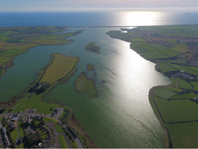
What is recorded here
This well is not marked on the 1839 ed. of the OS 6-inch map and is not mentioned by John O’Donovan writing c. 1840 (O’Flanagan 1933), so it may be a modern feature created for the pilgrimage. The well is cut into the natural scarp (H c. 1m), which is now stone-clad at this point, forming the W side of Lady's Island. The stone-lined well is rectangular (dims 0.6m x 0.7m) with a lintel (L 0.8m; T 0.1m) across the opening (H over the water 0.25m). On top of the lintel is a trough (ext. dims 0.5m x 0.42m; int. dims 0.4m x 0.35m; D 0.1m) made of coarse cement. The trough is set on its side with offerings placed in it. The burnt mound (WX053-061----) was found in the vicinity of the well.
Compiled by: Michael Moore
Date of upload: 25 March, 2014
The monument record does not grant public access. Check the route and ask the landowner before entering private land.
- What survives
- Recorded monument
Places near here
 Church in ruinsChurch · 87 yd
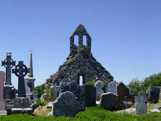 graveyard/cemeterygraveyard/cemetery · 92 yd
 Not idicatedGatehouse · 158 yd
 ScargeenIsland · 199 yd
 TowerBawn · 223 yd
 Lady's IslandVisitor information · 332 yd
 Ladys WellHoly well · 625 yd
 InishIsland · 918 yd
 CastleHouse, fortified house · 1460 yd
 Shernock Hill/Knocks HillMountain / peak · 1.5 mi
 Carne BeachBeach / strand · 1.5 mi
 Lifeboat MemorialMemorial · 1.6 mi
Other information
Photo: Credit not shown in the picture search · Rights wording not checked; contact us if this picture should be removed