What is recorded here
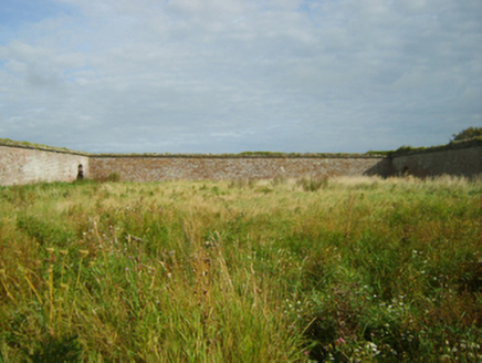
Located on a broad low hill. The cropmark of a rectangular feature (dims c. 25m E-W; c. 15m N-S) is visible on vertical aerial photographs (GSIAP: T 63/2) from 1973. It is now preserved as an open area in a caravan park.
From the National Monuments Service (Archaeological Survey of Ireland) record WX053-021
The monument record does not grant public access. Check the route and ask the landowner before entering private land.
- What survives
- Recorded monument
Places near here
Photo credits
- National Inventory of Architectural Heritage
- User Ali-oops on en.wikipedia, Wikimedia Commons · GFDL
- Ojsyork, Wikimedia Commons · CC BY 4.0
 Saint Margaret's HouseFarmyard complex · 303 ydSt. Margarets WellHoly well · 441 ydShernock Hill/Knocks HillMountain / peak · 647 yd
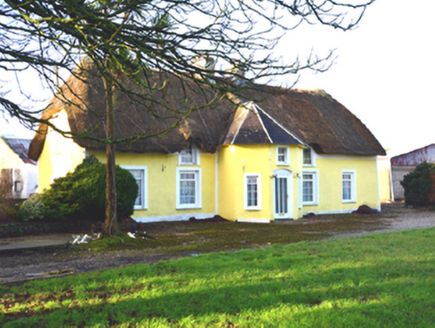 farm house724 ydEnclosure in BallareEnclosure · 800 yd
 Carne BeachBeach / strand · 1014 yd
 Lifeboat MemorialMemorial · 1238 ydSite of CastleCastle, unclassified · 1334 ydChurchtown Beach / The Sandy GripeBeach / strand · 1685 ydTowerBawn · 1.1 miLady's IslandVisitor information · 1.1 miScargeenIsland · 1.3 mi
More archaeology and monuments in County Wexford · All of County Wexford
What do you know about this place?