
What is recorded here
Situated on flat pasture in undulating countryside. A semicircular well (diam. 1.6m; D 0.9m) enclosed by a low drystone wall which opens to the SW. The well had a water depth of 0.4m at the time of visit. A holy tree known as St Kieran's Tree is located immediately to the S of the well with pieces of cloth attached to its branches. W of the well is a small bullaun stone (TN004-007003).
The above description is derived from 'The Archaeological Inventory of County Tipperary. Vol. 1 - North Tipperary' compiled by Jean Farrelly and Caimin O'Brien (Dublin: Stationery Office, 2002). In certain instances the entries have been revised and updated in the light of recent research.
Date of upload/revision: 22 September 2008
St. Kieran’s Tree is associated with St. Kieran of Lorrha, a 6th-century Irish saint known for founding several monastic sites in County Tipperary. The site likely reflects a tradition of holy wells and trees linked to saintly intercession, often used for healing and pilgrimage.
The monument record does not grant public access. Check the route and ask the landowner before entering private land.
- What survives
- Recorded monument
Places near here
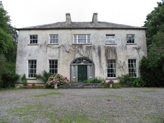 Saint Kieran'scountry house · 312 yd
 Site of Derry Ho.House, 17th century · 967 yd
 Roden Househouse · 982 yd
 Enclosure in LisballyardEnclosure · 1408 yd
 Lackeen castle (in ruins)Castle, tower house · 1.7 mi
 Site of Pallas CastleCastle, unclassified · 1.9 mi
 Lumcloon WoodWood · 2.3 mi
 Cregg WoodForest · 3.6 mi
 Friars IslandIsland · 4.3 mi
 Killeen's IslandIsland · 4.7 mi
 MeelickVisitor information · 4.9 mi
 All Saints' WellSpring · 4.9 mi
Other information
Photo: Credit not shown in the picture search · Rights wording not checked; contact us if this picture should be removed